|
search place name
|
||
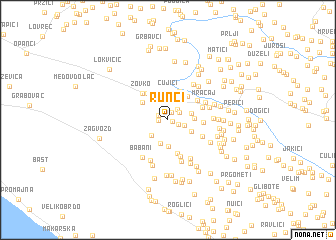
Runci (Croatia)Runci is a town in Croatia. An overview map of the region around Runci is displayed below.
regional and 3d topo map of Runci, Croatia ::
Runci airports ::
The nearest airport is OMO - Mostar, located 60.2 km east of Runci.
Other airports nearby include SPU - Split (68.3 km west), SJJ - Sarajevo (107.4 km north east), DBV - Dubrovnik (133.1 km south east), ZAD - Zadar (162.6 km north west), Nearby towns ::
Livajići (0.4km east) //
Novak (0.9km north) //
Skako (0.7km west) //
Gudelj Velaga (0.9km north west) //
Matkovići (1.0km south east) //
Šušnjari (1.3km north east) //
Margete (1.4km north east) //
Poljica (1.4km south east) //
Svrdlini (2.3km north) //
Krivodol (2.3km north) //
Ujevići (2.2km north west) //
Rake (2.2km south west) //
Crnogorci (2.6km north) //
Gudelji (2.7km south) //
Grubine (2.1km east) //
Stanići (2.7km north) //
Ivanbegovina (2.1km east) //
Biloši (2.3km south east) //
Gornja Zečevina (3.0km south) //
Lasići (2.9km north) //
Čujići (3.1km north) //
Medvidovići (2.9km north west) //
Jasenovac (3.3km north) //
Berinovač (2.8km north west) //
Šumet (3.1km north east) //
Papučići (3.4km north west) //
Donja Zečevina (3.8km south) //
Šušnjari (2.9km east) //
Žužuli (3.2km north east) //
[all distances 'as the bird flies' and approximate] 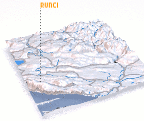 Places with similar names to Runci, Croatia ::
Disclaimer :: Information on this page comes without warranty of any kind |
||
|
Where is Runci? Elevation and coordinates ::
Latitude (lat): 43°24'59"N Longitude (lon): 17°7'33"E
Elevation (approx.): 391m (map arrows pan, magnifying glasses zoom) |
||
|
Visiting Runci? Hotel/Accommodation ::
Book a hotel in Runci Travel Guide ::
Buy a travel guide for Croatia rental cars ::
car rental offers GPS waypoint ::
download a GPX waypoint (PoI) of Runci for your GPS receiver
|
||