|
search place name
|
||
Arthonnay (Bourgogne, France)Arthonnay is a town in the Bourgogne region of France. An overview map of the region around Arthonnay is displayed below.
regional and 3d topo map of Arthonnay, France ::

Arthonnay airports ::
The nearest airport is QYR - Troyes Barberey, located 45.7 km north of Arthonnay.
Other airports nearby include AUF - Auxerre Branches (54.6 km west), DIJ - Dijon Longvic (98.8 km south east), XCD - Chalon Champforgeuil (131.2 km south), NVS - Nevers Fourchambault (132.8 km south west), Nearby towns ::
Channes (2.5km east) //
Maulnes (3.7km south) //
Villiers-le-Bois (3.1km north west) //
Villon (4.5km south west) //
Quincerot (3.7km west) //
Balnot-la-Grange (5.7km north) //
Bragelogne (5.3km north east) //
Vaudron (7.4km north) //
Panfol (5.3km east) //
Rugny (6.2km south west) //
Bagneux-la-Fosse (7.5km north east) //
[all distances 'as the bird flies' and approximate] 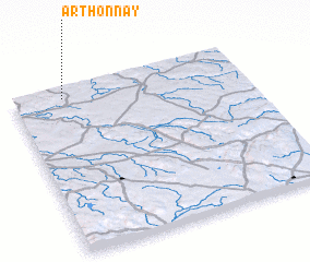
Disclaimer :: Information on this page comes without warranty of any kind |
||
|
Where is Arthonnay? Elevation and coordinates ::
Latitude (lat): 47°56'0"N Longitude (lon): 4°13'0"E
Elevation (approx.): 303m (map arrows pan, magnifying glasses zoom) |
||
|
Visiting Arthonnay? Hotel/Accommodation ::
Book a hotel in Arthonnay Travel Guide ::
Buy a travel guide for France rental cars ::
car rental offers GPS waypoint ::
download a GPX waypoint (PoI) of Arthonnay for your GPS receiver
|
||