|
search place name
|
||
Aujols (Midi-Pyrénées, France)Aujols is a town in the Midi-Pyrénées region of France. An overview map of the region around Aujols is displayed below.
regional and 3d topo map of Aujols, France ::

Aujols airports ::
The nearest airport is LBI - Albi Le Sequestre, located 70.9 km south east of Aujols.
Other airports nearby include RDZ - Rodez Marcillac (73.0 km east), BVE - Brive La Roche (82.0 km north), AGF - Agen La Garenne (82.4 km west), AUR - Aurillac (85.9 km north east), Nearby towns ::
Escamps (2.3km south east) //
Laburgade (3.9km south) //
Pasturac (5.6km north) //
Esclauzels (4.4km north east) //
Cremps (4.4km south east) //
Arcambal (5.4km north west) //
Cieurac (5.4km south west) //
Vers (7.4km north) //
Concots (5.3km east) //
Flaujac-Poujols (5.3km west) //
Saint-Géry (7.5km north) //
Les Masseries (6.8km north east) //
Bouziès Bas (8.4km north east) //
Bouziès (9.1km north east) //
[all distances 'as the bird flies' and approximate] 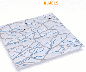 Places with similar names to Aujols, France ::
Disclaimer :: Information on this page comes without warranty of any kind |
||
|
Where is Aujols? Elevation and coordinates ::
Latitude (lat): 44°25'0"N Longitude (lon): 1°34'0"E
Elevation (approx.): 175m (map arrows pan, magnifying glasses zoom) |
||
|
Visiting Aujols? Hotel/Accommodation ::
Book a hotel in Aujols Travel Guide ::
Buy a travel guide for France rental cars ::
car rental offers GPS waypoint ::
download a GPX waypoint (PoI) of Aujols for your GPS receiver
|
||