|
search place name
|
||
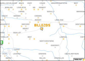
Billezois (Auvergne, France)Billezois is a town in the Auvergne region of France. An overview map of the region around Billezois is displayed below.
regional and 3d topo map of Billezois, France ::
Billezois airports ::
The nearest airport is VHY - Vichy Charmeil, located 13.6 km south west of Billezois.
Other airports nearby include XMU - Moulins Montbeugny (37.0 km north), RNE - Roanne Renaison (37.9 km south east), CFE - Clermont Ferrand Auvergne (56.9 km south west), MCU - Montlucon Domerat (78.2 km west), Nearby towns ::
Périgny (3.9km north) //
Saint-Étienne-de-Vicq (4.5km south west) //
Saint-Christophe (5.7km south) //
Crosard (5.7km north) //
Saint-Gérand-le-Puy (5.3km north west) //
Bost (5.3km south west) //
Magnet (5.1km west) //
Marcenat (5.5km west) //
Lapalisse (6.3km north east) //
Servilly (7.8km north) //
Isserpent (8.4km south east) //
Saint-Étienne-de-Ciernat (7.6km north west) //
Ciernat (9.0km north west) //
[all distances 'as the bird flies' and approximate] 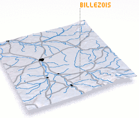 Places with similar names to Billezois, France ::
Disclaimer :: Information on this page comes without warranty of any kind |
||
|
Where is Billezois? Elevation and coordinates ::
Latitude (lat): 46°13'0"N Longitude (lon): 3°34'0"E
Elevation (approx.): 311m (map arrows pan, magnifying glasses zoom) |
||
|
Visiting Billezois? Hotel/Accommodation ::
Book a hotel in Billezois Travel Guide ::
Buy a travel guide for France rental cars ::
car rental offers GPS waypoint ::
download a GPX waypoint (PoI) of Billezois for your GPS receiver
|
||