|
search place name
|
||
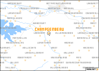
Champ Gerbeau (Champagne-Ardenne, France)Champ Gerbeau is a town in the Champagne-Ardenne region of France. An overview map of the region around Champ Gerbeau is displayed below.
regional and 3d topo map of Champ Gerbeau, France ::
Champ Gerbeau airports ::
The nearest airport is QYR - Troyes Barberey, located 72.4 km west of Champ Gerbeau.
Other airports nearby include EPL - Epinal Mirecourt (87.7 km east), ENC - Nancy Essey (96.9 km east), MZM - Metz Frescaty (105.4 km north east), RHE - Reims Champagne (106.5 km north west), Nearby towns ::
Attancourt (1.9km south) //
Le Châtellier (2.2km south west) //
Louvemont (2.5km west) //
Le Pont Varin (3.9km south) //
La Grange-au-Rupt (3.9km south) //
Humbécourt (4.4km north west) //
Villiers-aux-Bois (3.7km east) //
Wassy (5.7km south) //
Allichamps (4.1km north west) //
Éclaron (6.1km north west) //
Flornoy (6.2km south east) //
Magneux (6.2km south east) //
Valcourt (7.8km north) //
Moëslains (7.8km north) //
Montreuil-sur-Blaise (7.8km south) //
Brousseval (7.8km south) //
Voillecomte (7.4km south west) //
Babottes (7.4km south west) //
Laneuville-à-Rémy (8.3km south west) //
Valleret (8.9km south east) //
[all distances 'as the bird flies' and approximate] 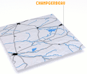 Places with similar names to Champ Gerbeau, France :: Disclaimer :: Information on this page comes without warranty of any kind |
||
|
Where is Champ Gerbeau? Elevation and coordinates ::
Latitude (lat): 48°33'0"N Longitude (lon): 4°56'0"E
Elevation (approx.): 155m (map arrows pan, magnifying glasses zoom) |
||
|
Visiting Champ Gerbeau? Hotel/Accommodation ::
Book a hotel in Champ Gerbeau Travel Guide ::
Buy a travel guide for France rental cars ::
car rental offers GPS waypoint ::
download a GPX waypoint (PoI) of Champ Gerbeau for your GPS receiver
|
||