|
search place name
|
||
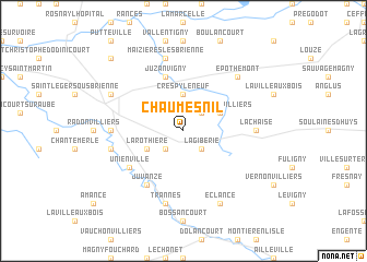
Chaumesnil (Champagne-Ardenne, France)Chaumesnil is a town in the Champagne-Ardenne region of France. An overview map of the region around Chaumesnil is displayed below.
regional and 3d topo map of Chaumesnil, France ::
Chaumesnil airports ::
The nearest airport is QYR - Troyes Barberey, located 43.5 km west of Chaumesnil.
Other airports nearby include AUF - Auxerre Branches (100.2 km south west), EPL - Epinal Mirecourt (109.1 km east), RHE - Reims Champagne (112.4 km north), ENC - Nancy Essey (125.7 km east), Nearby towns ::
Morvilliers (2.2km north east) //
Petit-Mesnil (2.2km south west) //
La Giberie (2.2km south east) //
Crespy-le-Neuf (3.7km north) //
Petit Morvilliers (3.1km north east) //
La Rothière (3.1km south west) //
Juzanvigny (5.7km north) //
Juvanzé (6.1km south west) //
Unienville (5.2km south west) //
Brienne-la-Vieille (4.9km west) //
La Chaise (4.9km east) //
Maizières-lès-Brienne (7.5km north) //
Dienville (5.3km west) //
Jessains (7.5km south) //
Trannes (7.5km south) //
Épothémont (6.7km north east) //
Brienne-le-Château (6.2km north west) //
Éclance (7.8km south) //
Perthes-lès-Brienne (8.9km north west) //
[all distances 'as the bird flies' and approximate] 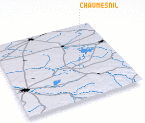 Places with similar names to Chaumesnil, France :: Disclaimer :: Information on this page comes without warranty of any kind |
||
|
Where is Chaumesnil? Elevation and coordinates ::
Latitude (lat): 48°22'0"N Longitude (lon): 4°36'0"E
Elevation (approx.): 132m (map arrows pan, magnifying glasses zoom) |
||
|
Visiting Chaumesnil? Hotel/Accommodation ::
Book a hotel in Chaumesnil Travel Guide ::
Buy a travel guide for France rental cars ::
car rental offers GPS waypoint ::
download a GPX waypoint (PoI) of Chaumesnil for your GPS receiver
|
||