|
search place name
|
||
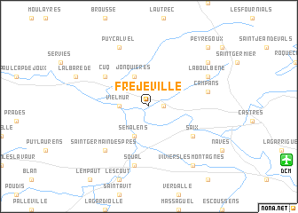
Fréjeville (Midi-Pyrénées, France)Fréjeville is a town in the Midi-Pyrénées region of France. An overview map of the region around Fréjeville is displayed below.
regional and 3d topo map of Fréjeville, France ::
Fréjeville airports ::
The nearest airport is DCM - Castres Mazamet, located 14.3 km south east of Fréjeville.
Other airports nearby include LBI - Albi Le Sequestre (33.1 km north), CCF - Carcassonne Salvaza (46.7 km south), TLS - Toulouse Blagnac (62.1 km west), LRH - La Rochelle Lherm (72.8 km west), Nearby towns ::
Carbes (1.3km east) //
Vielmur (2.7km west) //
Jonquières (3.9km north) //
Cambounet-sur-le-Sor (3.9km south) //
Sémalens (3.9km south) //
Cuq (5.5km north west) //
Saix (5.5km south east) //
Campans (5.7km east) //
Soual (7.5km south) //
Saint-Germain-des-Prés (6.9km south west) //
Puycalvel (7.9km north) //
Laboulbène (6.5km north east) //
Montpinier (7.7km north east) //
Viviers-lès-Montagnes (8.4km south east) //
Peyregoux (9.2km north east) //
[all distances 'as the bird flies' and approximate] 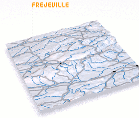 Places with similar names to Fréjeville, France ::
// Forgevieille (FR)
Disclaimer :: Information on this page comes without warranty of any kind |
||
|
Where is Fréjeville? Elevation and coordinates ::
Latitude (lat): 43°37'0"N Longitude (lon): 2°8'0"E
Elevation (approx.): 208m (map arrows pan, magnifying glasses zoom) |
||
|
Visiting Fréjeville? Hotel/Accommodation ::
Book a hotel in Fréjeville Travel Guide ::
Buy a travel guide for France rental cars ::
car rental offers GPS waypoint ::
download a GPX waypoint (PoI) of Fréjeville for your GPS receiver
|
||