|
search place name
|
||
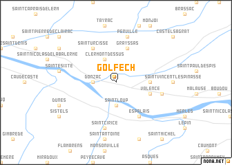
Golfech (Midi-Pyrénées, France)Golfech is a town in the Midi-Pyrénées region of France. An overview map of the region around Golfech is displayed below.
regional and 3d topo map of Golfech, France ::
Golfech airports ::
The nearest airport is AGF - Agen La Garenne, located 23.0 km west of Golfech.
Other airports nearby include TLS - Toulouse Blagnac (67.3 km south east), LRH - La Rochelle Lherm (80.8 km south east), EGC - Bergerac Roumaniere (83.5 km north), LBI - Albi Le Sequestre (102.4 km east), Nearby towns ::
Donzac (2.7km west) //
Lamagistère (2.7km west) //
Saint-Loup (3.7km south) //
Clermont-Dessus (3.9km north) //
Goudourville (4.0km east) //
Grayssas (5.7km north) //
Valence (4.4km south east) //
Auvillar (6.2km south east) //
Espalais (6.2km south east) //
Saint-Urcisse (6.2km north west) //
Perville (7.5km north) //
Pommevic (5.6km east) //
Saint-Cirice (7.5km south) //
[all distances 'as the bird flies' and approximate] 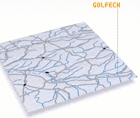 Places with similar names to Golfech, France ::
Disclaimer :: Information on this page comes without warranty of any kind |
||
|
Where is Golfech? Elevation and coordinates ::
Latitude (lat): 44°7'0"N Longitude (lon): 0°52'0"W
Elevation (approx.): 57m (map arrows pan, magnifying glasses zoom) |
||
|
Visiting Golfech? Hotel/Accommodation ::
Book a hotel in Golfech Travel Guide ::
Buy a travel guide for France rental cars ::
car rental offers GPS waypoint ::
download a GPX waypoint (PoI) of Golfech for your GPS receiver
|
||