|
search place name
|
||
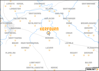
Kerfourn (Bretagne, France)Kerfourn is a town in the Bretagne region of France. An overview map of the region around Kerfourn is displayed below.
regional and 3d topo map of Kerfourn, France ::
Kerfourn airports ::
The nearest airport is VNE - Vannes Meucon, located 35.5 km south of Kerfourn.
Other airports nearby include LRT - Lorient Lann Bihoue (54.6 km south west), SBK - St.-brieuc Armor Armor (56.1 km north), RNS - Rennes St Jacques (82.0 km east), DNR - Dinard Pleurtuit (83.2 km north east), Nearby towns ::
Penvern (1.9km south) //
Kerlaizan (5.6km north) //
Naizin (5.6km south) //
Luzunin (5.6km south) //
Noyal-Pontivy (5.2km north west) //
Crédin (5.0km east) //
Locmalo (6.2km south east) //
Rohan (6.2km north east) //
Gueltas (7.8km north) //
Moustoir-Remungol (6.2km south west) //
Saint-Gouvry (7.4km north east) //
Saint-Samson (7.4km north east) //
Saint-Noyal (7.4km north west) //
Saint-Gérand (8.3km north west) //
[all distances 'as the bird flies' and approximate] 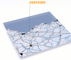 Places with similar names to Kerfourn, France ::
// Greffern (DE)
// Grovern (DE)
// Carvirone (IT)
// Grayvoron (RU)
// Grayvorony (RU)
// Korvārān (IR)
// Qareh Veran (IR)
// Corrafaireen (IE)
// Corraffrin (IE)
// Kerforn (FR)
Disclaimer :: Information on this page comes without warranty of any kind |
||
|
Where is Kerfourn? Elevation and coordinates ::
Latitude (lat): 48°2'0"N Longitude (lon): 2°50'0"W
Elevation (approx.): 121m (map arrows pan, magnifying glasses zoom) |
||
|
Visiting Kerfourn? Hotel/Accommodation ::
Book a hotel in Kerfourn Travel Guide ::
Buy a travel guide for France rental cars ::
car rental offers GPS waypoint ::
download a GPX waypoint (PoI) of Kerfourn for your GPS receiver
|
||