|
search place name
|
||
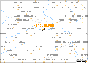
Kerguelven (Bretagne, France)Kerguelven is a town in the Bretagne region of France. An overview map of the region around Kerguelven is displayed below.
regional and 3d topo map of Kerguelven, France ::
Kerguelven airports ::
The nearest airport is LAI - Lannion, located 26.6 km north of Kerguelven.
Other airports nearby include MXN - Morlaix Ploujean (29.8 km west), SBK - St.-brieuc Armor Armor (42.8 km east), BES - Brest Guipavas (73.2 km west), UIP - Quimper Pluguffan (81.3 km south west), Nearby towns ::
Le Scalon (2.2km south east) //
Le Dresnay (2.2km south west) //
Loc-Envel (2.5km east) //
Belle-Isle-en-Terre (4.4km north east) //
Kerdanet an Even (5.6km north) //
La Chapelle-Neuve (5.7km south) //
Plounevez-Moëdec (5.7km north) //
Le Léguer (4.1km south west) //
Relais-an-Roux (4.1km south east) //
Locmaria (5.2km north east) //
Plougonver (5.2km south east) //
Kergoguen (5.2km south east) //
Loguivy-Plougras (4.9km west) //
Restou (7.5km south) //
Keramanacʼh (6.7km north west) //
Sainte-Éturien (6.7km north west) //
Saint-Paul (6.2km north east) //
Croas Kermen (7.4km south east) //
Kérouvriou (8.3km south east) //
Saint-Carré (8.9km north west) //
[all distances 'as the bird flies' and approximate] 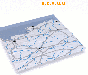 Places with similar names to Kerguelven, France ::
// Carraig Uí Leighin (IE)
// Kerguelfen (FR)
Disclaimer :: Information on this page comes without warranty of any kind |
||
|
Where is Kerguelven? Elevation and coordinates ::
Latitude (lat): 48°31'0"N Longitude (lon): 3°26'0"W
Elevation (approx.): 156m (map arrows pan, magnifying glasses zoom) |
||
|
Visiting Kerguelven? Hotel/Accommodation ::
Book a hotel in Kerguelven Travel Guide ::
Buy a travel guide for France rental cars ::
car rental offers GPS waypoint ::
download a GPX waypoint (PoI) of Kerguelven for your GPS receiver
|
||