|
search place name
|
||
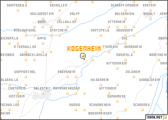
Kogenheim (Alsace, France)Kogenheim is a town in the Alsace region of France. An overview map of the region around Kogenheim is displayed below.
regional and 3d topo map of Kogenheim, France ::
Kogenheim airports ::
The nearest airport is SXB - Strassbourg Entzheim, located 23.9 km north of Kogenheim.
Other airports nearby include CMR - Colmar Houssen (28.0 km south west), ZCC - Baden-baden Baden Oos (70.2 km north east), MLH - Bale Mulhouse (82.7 km south), ZQL - Donaueschingen Villingen (83.8 km south east), Nearby towns ::
Sermersheim (1.2km east) //
Ebersmunster (3.9km south) //
Ebersheim (4.5km south west) //
Huttenheim (4.1km north east) //
Hilsenheim (6.1km south east) //
Kertzfeld (6.1km north east) //
Muttersholtz (7.4km south) //
Ehrwihr (7.5km south) //
Sainte-Marguerite (5.3km west) //
Witternheim (5.3km east) //
Stotzheim (6.7km north west) //
Rathsamhausen (7.8km south) //
Zellwiller (7.8km north) //
Benfeld (6.2km north east) //
Saint-Pierre (7.4km north west) //
Wittisheim (8.3km south east) //
Bindernheim (7.4km south east) //
Westhouse (8.3km north east) //
Gertwiller (8.9km north west) //
Uttenheim (8.9km north east) //
[all distances 'as the bird flies' and approximate] 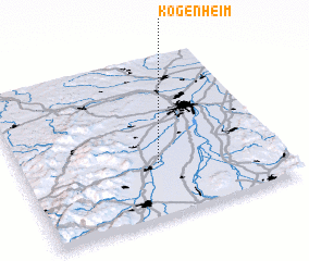 Places with similar names to Kogenheim, France ::
// Gougenheim (FR)
Disclaimer :: Information on this page comes without warranty of any kind |
||
|
Where is Kogenheim? Elevation and coordinates ::
Latitude (lat): 48°20'0"N Longitude (lon): 7°32'0"E
Elevation (approx.): 161m (map arrows pan, magnifying glasses zoom) |
||
|
Visiting Kogenheim? Hotel/Accommodation ::
Book a hotel in Kogenheim Travel Guide ::
Buy a travel guide for France rental cars ::
car rental offers GPS waypoint ::
download a GPX waypoint (PoI) of Kogenheim for your GPS receiver
|
||