|
search place name
|
||
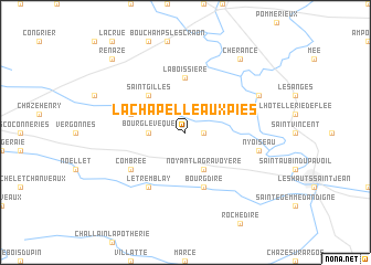
La Chapelle aux Pies (Pays de la Loire, France)La Chapelle aux Pies is a town in the Pays de la Loire region of France. An overview map of the region around La Chapelle aux Pies is displayed below.
regional and 3d topo map of La Chapelle aux Pies, France ::
La Chapelle aux Pies airports ::
The nearest airport is LVA - Laval Entrammes, located 37.7 km north east of La Chapelle aux Pies.
Other airports nearby include RNS - Rennes St Jacques (67.5 km north west), CET - Cholet Le Pontreau (72.8 km south), NTE - Nantes Atlantique (80.0 km south west), LME - Le Mans Arnage (91.9 km east), Nearby towns ::
Bouillé-Ménard (1.2km east) //
Bourg-lʼÉvêque (2.5km west) //
Noyant-la-Gravoyère (3.9km south) //
Saint-Gilles (4.5km north west) //
La Boissière (5.6km north) //
Bourg-dʼIré (5.7km south) //
Grugé-lʼHôpital (4.2km north west) //
Combrée (5.3km south west) //
Le Tremblay (6.1km south west) //
Nyoiseau (5.3km east) //
Châtelais (6.2km north east) //
Chérancé (8.3km north east) //
Renazé (8.9km north west) //
[all distances 'as the bird flies' and approximate] 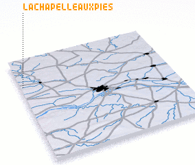 Places with similar names to La Chapelle aux Pies, France :: Disclaimer :: Information on this page comes without warranty of any kind |
||
|
Where is La Chapelle aux Pies? Elevation and coordinates ::
Latitude (lat): 47°44'0"N Longitude (lon): 0°59'0"W
Elevation (approx.): 73m (map arrows pan, magnifying glasses zoom) |
||
|
Visiting La Chapelle aux Pies? Hotel/Accommodation ::
Book a hotel in La Chapelle aux Pies Travel Guide ::
Buy a travel guide for France rental cars ::
car rental offers GPS waypoint ::
download a GPX waypoint (PoI) of La Chapelle aux Pies for your GPS receiver
|
||