|
search place name
|
||
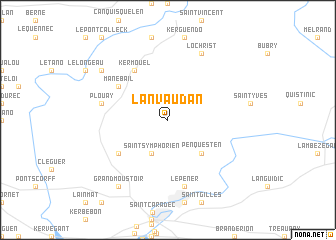
Lanvaudan (Bretagne, France)Lanvaudan is a town in the Bretagne region of France. An overview map of the region around Lanvaudan is displayed below.
regional and 3d topo map of Lanvaudan, France ::
Lanvaudan airports ::
The nearest airport is LRT - Lorient Lann Bihoue, located 20.2 km south west of Lanvaudan.
Other airports nearby include VNE - Vannes Meucon (45.5 km south east), UIP - Quimper Pluguffan (67.8 km west), SBK - St.-brieuc Armor Armor (77.2 km north east), MXN - Morlaix Ploujean (88.2 km north west), Nearby towns ::
Saint-Symphorien (3.9km south) //
Penquesten (4.5km south east) //
Calan (5.3km south west) //
Manébail (5.3km north west) //
Kermouël (6.1km north west) //
Plouay (5.3km west) //
Le Pener (7.5km south) //
Lochrist (7.8km north) //
Kerguescan (7.5km north west) //
Grand Moustoir (8.3km south west) //
[all distances 'as the bird flies' and approximate] 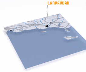 Places with similar names to Lanvaudan, France ::
// Långheden (SE)
// Langhedian (CN)
// Lianghoudian (CN)
// Longhuadian (CN)
// Long Houghton (GB)
// Langhtin (MM)
Disclaimer :: Information on this page comes without warranty of any kind |
||
|
Where is Lanvaudan? Elevation and coordinates ::
Latitude (lat): 47°54'0"N Longitude (lon): 3°16'0"W
Elevation (approx.): 97m (map arrows pan, magnifying glasses zoom) |
||
|
Visiting Lanvaudan? Hotel/Accommodation ::
Book a hotel in Lanvaudan Travel Guide ::
Buy a travel guide for France rental cars ::
car rental offers GPS waypoint ::
download a GPX waypoint (PoI) of Lanvaudan for your GPS receiver
|
||