|
search place name
|
||
Larrazet (Midi-Pyrénées, France)Larrazet is a town in the Midi-Pyrénées region of France. An overview map of the region around Larrazet is displayed below.
regional and 3d topo map of Larrazet, France ::

Larrazet airports ::
The nearest airport is TLS - Toulouse Blagnac, located 40.7 km south east of Larrazet.
Other airports nearby include AGF - Agen La Garenne (47.7 km north west), LRH - La Rochelle Lherm (55.7 km south), LBI - Albi Le Sequestre (82.7 km east), DCM - Castres Mazamet (105.8 km south east), Nearby towns ::
Belbèse (3.9km south) //
Labourgade (3.2km north east) //
Montain (3.2km north east) //
Garganvillar (5.6km north) //
Sérignac (4.4km south west) //
Vigueron (5.7km south) //
Saint-Sardos (5.5km south east) //
Villa San Gaudenzio (5.5km north east) //
Lafitte (5.5km north east) //
Comberouger (7.9km south) //
Fajolles (6.5km north west) //
Angeville (8.4km north west) //
[all distances 'as the bird flies' and approximate] 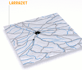 Places with similar names to Larrazet, France ::
// Larizzate (IT)
// La Rosita (CU)
// La Rosita (CU)
// La Rosita (CU)
// La Rosita (CU)
// Lereşti (RO)
// Lorzot (TN)
// La Reussite (US)
// Lowry City (US)
// Lore City (US)
Disclaimer :: Information on this page comes without warranty of any kind |
||
|
Where is Larrazet? Elevation and coordinates ::
Latitude (lat): 43°56'0"N Longitude (lon): 1°5'0"E
Elevation (approx.): 106m (map arrows pan, magnifying glasses zoom) |
||
|
Visiting Larrazet? Hotel/Accommodation ::
Book a hotel in Larrazet Travel Guide ::
Buy a travel guide for France rental cars ::
car rental offers GPS waypoint ::
download a GPX waypoint (PoI) of Larrazet for your GPS receiver
|
||