|
search place name
|
||
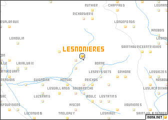
Les Nonières (Rhône-Alpes, France)Les Nonières is a town in the Rhône-Alpes region of France. An overview map of the region around Les Nonières is displayed below.
regional and 3d topo map of Les Nonières, France ::
Les Nonières airports ::
The nearest airport is VAF - Valence Chabeuil, located 50.4 km north west of Les Nonières.
Other airports nearby include GNB - Grenoble Saint Geoirs (72.1 km north), OBS - Aubenas-vals-lanas Ardeche Meridionale (95.8 km west), CMF - Chambery Aix Les Bains (103.8 km north), AVN - Avignon Caumont (105.3 km south west), Nearby towns ::
Bénévise (1.3km west) //
Menée (2.3km south west) //
Borne (3.2km south east) //
Les Reyssets (4.5km south east) //
Creyers (5.6km south) //
Reichas (5.7km south) //
Archiane (4.4km north west) //
Mensac (6.2km south west) //
Souberoche (7.4km south) //
Ravel-et-Ferriers (7.5km south) //
Glandage (6.8km south east) //
Les Combes (6.4km south east) //
Les Gallands (8.4km south west) //
[all distances 'as the bird flies' and approximate] 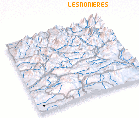 Places with similar names to Les Nonières, France :: Disclaimer :: Information on this page comes without warranty of any kind |
||
|
Where is Les Nonières? Elevation and coordinates ::
Latitude (lat): 44°44'0"N Longitude (lon): 5°33'0"E
Elevation (approx.): 793m (map arrows pan, magnifying glasses zoom) |
||
|
Visiting Les Nonières? Hotel/Accommodation ::
Book a hotel in Les Nonières Travel Guide ::
Buy a travel guide for France rental cars ::
car rental offers GPS waypoint ::
download a GPX waypoint (PoI) of Les Nonières for your GPS receiver
|
||