|
search place name
|
||
Les Piqueteries (Poitou-Charentes, France)Les Piqueteries is a town in the Poitou-Charentes region of France. An overview map of the region around Les Piqueteries is displayed below.
regional and 3d topo map of Les Piqueteries, France ::

Les Piqueteries airports ::
The nearest airport is PIS - Poitiers Biard, located 20.4 km south west of Les Piqueteries.
Other airports nearby include NIT - Niort Souche (82.8 km south west), TUF - Tours Val De Loire (84.6 km north), CHR - Chateauroux Deols (93.6 km east), LIG - Limoges Bellegarde (103.9 km south east), Nearby towns ::
Bonneuil-Matours (1.3km east) //
Vouneuil-sur-Vienne (3.7km north) //
La Chapelle-Moulière (4.5km south east) //
Chabonne (5.7km north) //
Bondilly (4.2km north west) //
Moussais-la-Bataille (6.1km north west) //
Chêne lʼAbbé (7.4km south) //
Liniers (7.4km south) //
Les Maillets (7.5km south) //
Bellefonds (6.7km south east) //
Domine (7.8km north) //
Availles (7.8km north) //
Buxerolles (8.3km south west) //
Gros Bout (8.3km south east) //
Charasse (9.0km south west) //
Bandiment (9.0km north west) //
[all distances 'as the bird flies' and approximate] 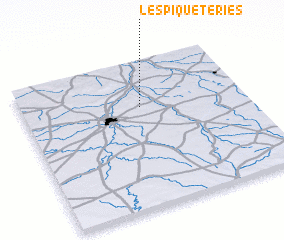 Places with similar names to Les Piqueteries, France ::
Disclaimer :: Information on this page comes without warranty of any kind |
||
|
Where is Les Piqueteries? Elevation and coordinates ::
Latitude (lat): 46°41'0"N Longitude (lon): 0°32'0"W
Elevation (approx.): 75m (map arrows pan, magnifying glasses zoom) |
||
|
Visiting Les Piqueteries? Hotel/Accommodation ::
Book a hotel in Les Piqueteries Travel Guide ::
Buy a travel guide for France rental cars ::
car rental offers GPS waypoint ::
download a GPX waypoint (PoI) of Les Piqueteries for your GPS receiver
|
||