|
search place name
|
||
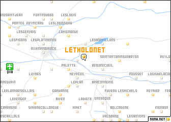
Le Tholonet (Provence-Alpes-Côte dʼAzur, France)Le Tholonet is a town in the Provence-Alpes-Côte dʼAzur region of France. An overview map of the region around Le Tholonet is displayed below.
regional and 3d topo map of Le Tholonet, France ::
Le Tholonet airports ::
The nearest airport is QXB - Aix-les-milles Aix Les Milles, located 12.1 km west of Le Tholonet.
Other airports nearby include MRS - Marseille Provence (26.1 km west), CTT - Le Castellet (36.5 km south east), AVN - Avignon Caumont (65.9 km north west), TLN - Hyeres Le Palyvestre (69.1 km south east), Nearby towns ::
Les Artauds (1.3km west) //
Saint-Marc-Jaumegarde (3.7km north) //
Beaurecueil (3.3km south east) //
Palette (3.3km south west) //
Meyreuil (3.9km south) //
Les Bonfillons (4.6km north east) //
Le Plan (5.7km south) //
Cité des Sauvaires (5.7km south) //
Braconnerie (6.2km south east) //
La Mignarde (6.2km north west) //
Châteauneuf-le-Rouge (5.5km south east) //
Chabanu (6.2km south west) //
Saint-Antonin-sur-Bayon (5.4km east) //
Pont de lʼArc (5.7km west) //
Les Logissons (8.4km north west) //
Gardanne (8.4km south west) //
Fuveau (8.4km south east) //
[all distances 'as the bird flies' and approximate] 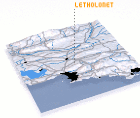 Places with similar names to Le Tholonet, France ::
// Le Thiolent (FR)
Disclaimer :: Information on this page comes without warranty of any kind |
||
|
Where is Le Tholonet? Elevation and coordinates ::
Latitude (lat): 43°31'0"N Longitude (lon): 5°31'0"E
Elevation (approx.): 242m (map arrows pan, magnifying glasses zoom) |
||
|
Visiting Le Tholonet? Hotel/Accommodation ::
Book a hotel in Le Tholonet Travel Guide ::
Buy a travel guide for France rental cars ::
car rental offers GPS waypoint ::
download a GPX waypoint (PoI) of Le Tholonet for your GPS receiver
|
||