|
search place name
|
||
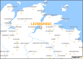
Lézardrieux (Bretagne, France)Lézardrieux is a town in the Bretagne region of France. An overview map of the region around Lézardrieux is displayed below.
regional and 3d topo map of Lézardrieux, France ::
Lézardrieux airports ::
The nearest airport is LAI - Lannion, located 27.4 km west of Lézardrieux.
Other airports nearby include SBK - St.-brieuc Armor Armor (31.2 km south east), MXN - Morlaix Ploujean (55.8 km west), DNR - Dinard Pleurtuit (77.7 km east), JER - Jersey (82.4 km north east), Nearby towns ::
Pleudaniel (2.4km west) //
Plounez (2.4km east) //
Plourivo (3.1km south east) //
Paimpol (3.7km east) //
Loguivy-Plougras (6.1km north east) //
Pommelin (7.4km north) //
Quemper-Guézennec (7.4km south) //
Kermouster (7.5km north) //
Yvias (6.7km south east) //
Pleumeur-Gautier (6.1km north west) //
Ploubazlanec (6.1km north east) //
Kerrocʼh (6.1km north east) //
Kerfot (6.1km south east) //
Lanleff (8.3km south east) //
Pontrieux (8.9km south west) //
[all distances 'as the bird flies' and approximate] 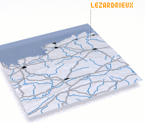 Places with similar names to Lézardrieux, France ::
// Los Rodríguez (ES)
// Los Rodríguez (SV)
// Los Rodríguez (MX)
// Los Rodríguez (MX)
// Los Rodríguez (MX)
// Los Rodríguez (MX)
// Los Rodríguez (MX)
// Los Rodríguez (MX)
// Los Rodríguez (MX)
// Los Rodríguez (MX)
Disclaimer :: Information on this page comes without warranty of any kind |
||
|
Where is Lézardrieux? Elevation and coordinates ::
Latitude (lat): 48°46'0"N Longitude (lon): 3°6'0"W
Elevation (approx.): 14m (map arrows pan, magnifying glasses zoom) |
||
|
Visiting Lézardrieux? Hotel/Accommodation ::
Book a hotel in Lézardrieux Travel Guide ::
Buy a travel guide for France rental cars ::
car rental offers GPS waypoint ::
download a GPX waypoint (PoI) of Lézardrieux for your GPS receiver
|
||