|
search place name
|
||
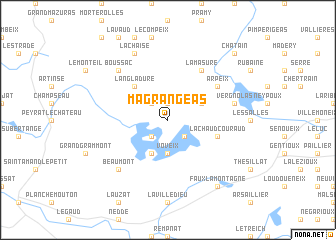
Magrangeas (Limousin, France)Magrangeas is a town in the Limousin region of France. An overview map of the region around Magrangeas is displayed below.
regional and 3d topo map of Magrangeas, France ::
Magrangeas airports ::
The nearest airport is LIG - Limoges Bellegarde, located 54.9 km west of Magrangeas.
Other airports nearby include MCU - Montlucon-gueret Montlucon Gueret (58.5 km north east), MCU - Montlucon Domerat (79.8 km north east), BVE - Brive La Roche (80.8 km south west), CFE - Clermont Ferrand Auvergne (100.0 km east), Nearby towns ::
Orladeix (1.9km north) //
Auzoux (2.3km north west) //
Vassivière (2.3km south west) //
Soumeix (2.3km south east) //
Voveix (3.7km south) //
Pierrefitte (3.9km south) //
Royère (3.2km north east) //
Langladure (4.5km north west) //
La Chaud Couraud (4.3km south east) //
Arpeix (5.4km north east) //
La Masure (6.1km north east) //
Vergnolas (5.5km east) //
Beaumont (6.8km south west) //
Boussac (6.8km north west) //
Lachaise (7.8km north) //
Faux-la-Montagne (8.4km south east) //
Chatain (9.0km north east) //
[all distances 'as the bird flies' and approximate] 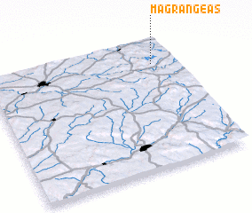 Places with similar names to Magrangeas, France ::
// Mécringes (FR)
Disclaimer :: Information on this page comes without warranty of any kind |
||
|
Where is Magrangeas? Elevation and coordinates ::
Latitude (lat): 45°49'0"N Longitude (lon): 1°53'0"E
Elevation (approx.): 664m (map arrows pan, magnifying glasses zoom) |
||
|
Visiting Magrangeas? Hotel/Accommodation ::
Book a hotel in Magrangeas Travel Guide ::
Buy a travel guide for France rental cars ::
car rental offers GPS waypoint ::
download a GPX waypoint (PoI) of Magrangeas for your GPS receiver
|
||