|
search place name
|
||
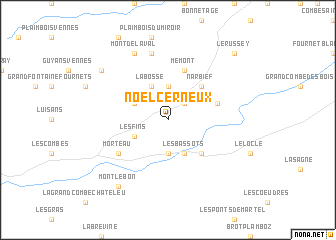
Noël-Cerneux (Franche-Comté, France)Noël-Cerneux is a town in the Franche-Comté region of France. An overview map of the region around Noël-Cerneux is displayed below.
regional and 3d topo map of Noël-Cerneux, France ::
Noël-Cerneux airports ::
The nearest airport is BRN - Bern Belp, located 66.5 km east of Noël-Cerneux.
Other airports nearby include MLH - Bale Mulhouse (85.0 km north east), DLE - Dole Tavaux (94.4 km west), GVA - Geneva Cointrin (104.9 km south west), QNJ - Annemasse (105.4 km south), Nearby towns ::
La Chenalotte (2.2km north east) //
Le Bizot (3.7km north) //
Villers-le-Lac (3.7km south) //
Les Bassots (3.9km south) //
La Bosse (3.9km north) //
Les Fins (3.1km south west) //
Le Bélieu (3.1km north west) //
Narbief (4.5km north east) //
Les Brenets (4.5km south east) //
Mémont (5.7km north) //
Le Barboux (4.2km north east) //
Morteau (5.3km south west) //
Le Luhier (7.5km north) //
Mont-de-Laval (7.8km north) //
Consolation-Maisonnettes (7.5km north west) //
Montlebon (8.3km south west) //
Le Russey (9.0km north east) //
[all distances 'as the bird flies' and approximate] 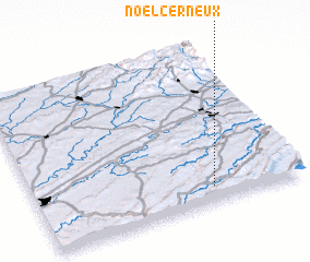 Places with similar names to Noël-Cerneux, France :: Disclaimer :: Information on this page comes without warranty of any kind |
||
|
Where is Noël-Cerneux? Elevation and coordinates ::
Latitude (lat): 47°6'0"N Longitude (lon): 6°40'0"E
Elevation (approx.): 960m (map arrows pan, magnifying glasses zoom) |
||
|
Visiting Noël-Cerneux? Hotel/Accommodation ::
Book a hotel in Noël-Cerneux Travel Guide ::
Buy a travel guide for France rental cars ::
car rental offers GPS waypoint ::
download a GPX waypoint (PoI) of Noël-Cerneux for your GPS receiver
|
||