|
search place name
|
||
Saint-Izaire (Midi-Pyrénées, France)Saint-Izaire is a town in the Midi-Pyrénées region of France. An overview map of the region around Saint-Izaire is displayed below.
regional and 3d topo map of Saint-Izaire, France ::

Saint-Izaire airports ::
The nearest airport is LBI - Albi Le Sequestre, located 48.8 km west of Saint-Izaire.
Other airports nearby include RDZ - Rodez Marcillac (52.5 km north), DCM - Castres Mazamet (57.1 km south west), BZR - Beziers Vias (88.0 km south east), MEN - Mende Brenoux (88.3 km north east), Nearby towns ::
Calmels-et-le-Viala (3.2km south east) //
Broquiès (3.9km north) //
Saint-Juéry (5.7km south) //
Montclar (5.3km west) //
La Serre (9.1km south west) //
[all distances 'as the bird flies' and approximate] 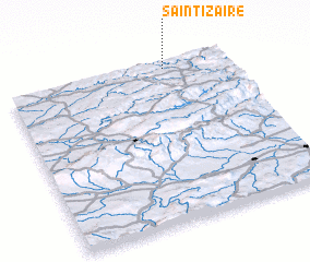 Places with similar names to Saint-Izaire, France ::
// Santa Isaura (BR)
// Zintsar (RU)
// Sundisar (BD)
// Sundisār (BD)
// Santa Sara (CL)
// Saint Cyr (DM)
// Santa Sara (MX)
// Sandāsar (PK)
// Sandasarai (PK)
// Suntsar (PK)
Disclaimer :: Information on this page comes without warranty of any kind |
||
|
Where is Saint-Izaire? Elevation and coordinates ::
Latitude (lat): 43°58'0"N Longitude (lon): 2°43'0"E
Elevation (approx.): 297m (map arrows pan, magnifying glasses zoom) |
||
|
Visiting Saint-Izaire? Hotel/Accommodation ::
Book a hotel in Saint-Izaire Travel Guide ::
Buy a travel guide for France rental cars ::
car rental offers GPS waypoint ::
download a GPX waypoint (PoI) of Saint-Izaire for your GPS receiver
|
||