|
search place name
|
||
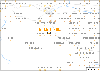
Salenthal (Alsace, France)Salenthal is a town in the Alsace region of France. An overview map of the region around Salenthal is displayed below.
regional and 3d topo map of Salenthal, France ::
Salenthal airports ::
The nearest airport is SXB - Strassbourg Entzheim, located 24.0 km south east of Salenthal.
Other airports nearby include CMR - Colmar Houssen (61.9 km south), ZCC - Baden-baden Baden Oos (61.9 km east), SCN - Saarbruecken Saarbrucken (63.8 km north), ENC - Nancy Essey (83.7 km west), Nearby towns ::
Dimbsthal (0.0km north) //
Singrist (1.2km east) //
Allenwiller (1.2km east) //
Birkenwald (1.2km west) //
Marmoutier (2.2km north east) //
Hengwiller (2.4km west) //
Reutenbourg (3.1km north east) //
Thal-près-Marmoutier (3.9km north) //
Cosswiller (4.4km south east) //
Gottenhouse (5.6km north) //
Otterswiller (5.7km north) //
Reinhardsmunster (4.1km north west) //
Romanswiller (4.1km south east) //
Lochwiller (5.2km north east) //
Haegen (6.1km north west) //
Saverne (7.4km north) //
Wangenbourg (6.7km south west) //
Schweinheim (6.7km north east) //
Engenthal (6.1km south west) //
Furchhausen (7.4km north east) //
Waldolwisheim (8.9km north east) //
Westhoffen (8.9km south east) //
[all distances 'as the bird flies' and approximate] 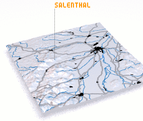 Places with similar names to Salenthal, France :: Disclaimer :: Information on this page comes without warranty of any kind |
||
|
Where is Salenthal? Elevation and coordinates ::
Latitude (lat): 48°40'0"N Longitude (lon): 7°22'0"E
Elevation (approx.): 295m (map arrows pan, magnifying glasses zoom) |
||
|
Visiting Salenthal? Hotel/Accommodation ::
Book a hotel in Salenthal Travel Guide ::
Buy a travel guide for France rental cars ::
car rental offers GPS waypoint ::
download a GPX waypoint (PoI) of Salenthal for your GPS receiver
|
||