|
search place name
|
||
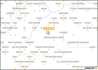
Saraz (Franche-Comté, France)Saraz is a town in the Franche-Comté region of France. An overview map of the region around Saraz is displayed below.
regional and 3d topo map of Saraz, France ::
Saraz airports ::
The nearest airport is DLE - Dole Tavaux, located 42.5 km west of Saraz.
Other airports nearby include DIJ - Dijon Longvic (74.1 km north west), GVA - Geneva Cointrin (85.2 km south), XCD - Chalon Champforgeuil (90.9 km west), QNJ - Annemasse (92.4 km south), Nearby towns ::
Alaise (2.2km north west) //
Nans-sous-Sainte-Anne (2.2km south east) //
Doulaize (3.7km north) //
Refranche (3.9km north) //
Sainte-Anne (5.6km south) //
Éternoz (3.8km east) //
Lizine (5.7km north) //
Montmahoux (4.2km south east) //
Myon (4.2km north west) //
Échay (6.1km north west) //
Geraise (6.1km south west) //
Bartherans (5.3km north west) //
Crouzet-Migette (6.1km south east) //
Dournon (7.5km south) //
Malans (6.7km north east) //
Saizenay (6.3km south west) //
Gevresin (6.3km south east) //
Villeneuve-dʼAmont (8.3km south east) //
Cernans (8.3km south west) //
Amondans (8.3km north east) //
[all distances 'as the bird flies' and approximate] 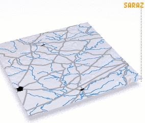 Places with similar names to Saraz, France ::
Disclaimer :: Information on this page comes without warranty of any kind |
||
|
Where is Saraz? Elevation and coordinates ::
Latitude (lat): 47°0'0"N Longitude (lon): 5°59'0"E
Elevation (approx.): 447m (map arrows pan, magnifying glasses zoom) |
||
|
Visiting Saraz? Hotel/Accommodation ::
Book a hotel in Saraz Travel Guide ::
Buy a travel guide for France rental cars ::
car rental offers GPS waypoint ::
download a GPX waypoint (PoI) of Saraz for your GPS receiver
|
||