|
search place name
|
||
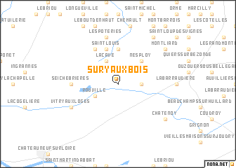
Sury-aux-Bois (Centre, France)Sury-aux-Bois is a town in the Centre region of France. An overview map of the region around Sury-aux-Bois is displayed below.
regional and 3d topo map of Sury-aux-Bois, France ::
Sury-aux-Bois airports ::
The nearest airport is ORE - Orleans Bricy, located 42.8 km west of Sury-aux-Bois.
Other airports nearby include ORY - Paris Orly (84.4 km north), AUF - Auxerre Branches (88.0 km east), TNF - Toussous-le-noble Toussus Le Noble (88.9 km north), BOU - Bourges (101.1 km south), Nearby towns ::
Les Queilleries (2.5km east) //
La Cave (3.9km north) //
Combreux (3.1km south west) //
Rouville (3.1km south west) //
Nesploy (4.5km north east) //
Nibelle (5.6km north) //
Saint-Louis (5.7km north) //
La Rochelle (6.1km north west) //
Seichebrières (5.0km west) //
Les Poteries (7.5km north) //
Vitry-aux-Loges (6.2km south west) //
Boiscommun (8.3km north east) //
Châtenoy (7.5km south east) //
Montliard (7.5km north east) //
[all distances 'as the bird flies' and approximate] 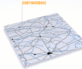 Places with similar names to Sury-aux-Bois, France :: Disclaimer :: Information on this page comes without warranty of any kind |
||
|
Where is Sury-aux-Bois? Elevation and coordinates ::
Latitude (lat): 47°58'0"N Longitude (lon): 2°20'0"E
Elevation (approx.): 132m (map arrows pan, magnifying glasses zoom) |
||
|
Visiting Sury-aux-Bois? Hotel/Accommodation ::
Book a hotel in Sury-aux-Bois Travel Guide ::
Buy a travel guide for France rental cars ::
car rental offers GPS waypoint ::
download a GPX waypoint (PoI) of Sury-aux-Bois for your GPS receiver
|
||