|
search place name
|
||
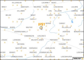
Visy (Centre, France)Visy is a town in the Centre region of France. An overview map of the region around Visy is displayed below.
regional and 3d topo map of Visy, France ::
Visy airports ::
The nearest airport is NVS - Nevers Fourchambault, located 26.6 km east of Visy.
Other airports nearby include BOU - Bourges (30.2 km west), XMU - Moulins Montbeugny (74.8 km south east), MCU - Montlucon Domerat (77.2 km south), CHR - Chateauroux Deols (81.1 km west), Nearby towns ::
Laverdines (1.3km east) //
Saligny-le-Vif (1.9km north) //
Le Gour (1.3km west) //
Les Essards (2.2km north east) //
Les Loges (3.7km south) //
Bengy-sur-Craon (3.9km south) //
Villequiers (4.5km north east) //
Cueilly (4.5km north west) //
Soutrin (3.8km west) //
Saligny-le-Mort (5.7km south) //
Clanay (6.1km north east) //
Charpaigne (5.3km south west) //
Baugy (6.1km north west) //
Villeres (5.1km east) //
Précilly (5.4km east) //
Berry (6.7km north east) //
Fontenay (6.7km south east) //
Nérondes (6.3km south east) //
Cru (7.8km north) //
Villers (7.5km north east) //
Féez (8.3km north east) //
Villaine (9.0km north east) //
[all distances 'as the bird flies' and approximate] 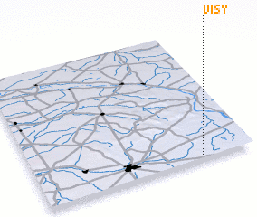 Places with similar names to Visy, France ::
Disclaimer :: Information on this page comes without warranty of any kind |
||
|
Where is Visy? Elevation and coordinates ::
Latitude (lat): 47°2'0"N Longitude (lon): 2°46'0"E
Elevation (approx.): 220m (map arrows pan, magnifying glasses zoom) |
||
|
Visiting Visy? Hotel/Accommodation ::
Book a hotel in Visy Travel Guide ::
Buy a travel guide for France rental cars ::
car rental offers GPS waypoint ::
download a GPX waypoint (PoI) of Visy for your GPS receiver
|
||