|
search place name
|
||
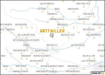
Wattwiller (Alsace, France)Wattwiller is a town in the Alsace region of France. An overview map of the region around Wattwiller is displayed below.
regional and 3d topo map of Wattwiller, France ::
Wattwiller airports ::
The nearest airport is CMR - Colmar Houssen, located 32.3 km north east of Wattwiller.
Other airports nearby include MLH - Bale Mulhouse (39.8 km south east), SXB - Strassbourg Entzheim (83.9 km north east), EPL - Epinal Mirecourt (97.3 km north west), ZQL - Donaueschingen Villingen (102.3 km east), Nearby towns ::
Cernay (3.7km south) //
Uffholtz (3.7km south) //
Jungholtz (3.9km north) //
Steinbach (3.9km south) //
Wuenheim (4.5km north east) //
Berrwiller (3.7km east) //
Rimbachzell (5.7km north) //
Rimbach-près-Guebwiller (5.7km north) //
Hartmannswiller (4.2km north east) //
Vieux-Thann (6.1km south west) //
Murbach (7.4km north) //
Soultz-Haut-Rhin (6.2km north east) //
Goldbach (6.2km north west) //
Guebwiller (7.8km north) //
Aspach-le-Haut (7.8km south) //
Leimbach (7.5km south west) //
[all distances 'as the bird flies' and approximate] 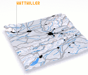 Places with similar names to Wattwiller, France ::
// Wattweiler (DE)
Disclaimer :: Information on this page comes without warranty of any kind |
||
|
Where is Wattwiller? Elevation and coordinates ::
Latitude (lat): 47°51'0"N Longitude (lon): 7°10'0"E
Elevation (approx.): 569m (map arrows pan, magnifying glasses zoom) |
||
|
Visiting Wattwiller? Hotel/Accommodation ::
Book a hotel in Wattwiller Travel Guide ::
Buy a travel guide for France rental cars ::
car rental offers GPS waypoint ::
download a GPX waypoint (PoI) of Wattwiller for your GPS receiver
|
||