|
search place name
|
||
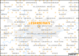
Les Hamendes (Hainaut, Belgium)Les Hamendes is a town in the Hainaut region of Belgium. An overview map of the region around Les Hamendes is displayed below.
regional and 3d topo map of Les Hamendes, Belgium ::
Les Hamendes airports ::
The nearest airport is CRL - Charleroi Brussels South, located 3.0 km north of Les Hamendes.
Other airports nearby include BRU - Brussels Natl (Melsbroek) (52.1 km north), LGG - Liege (72.9 km east), ANR - Antwerp Deurne (84.1 km north), LIL - Lille Lesquin (98.8 km west), Nearby towns ::
Mozet (NaNkm north) //
Fontery (1.9km north) //
Gilly (2.2km south east) //
Diarbois (2.2km north west) //
Grand Trieu (2.4km east) //
Ransart (3.7km north) //
Lodelinsart (2.4km west) //
Sart Culpart (3.0km south east) //
Charleroi (3.0km south west) //
Mienson (3.9km north) //
Montignies-sur-Sambre (4.4km south east) //
Bon Air (4.4km north east) //
Marcinelle (4.4km south west) //
Faubourg (4.4km north west) //
Wayaux (5.6km north) //
Jumet (3.5km west) //
Spinoy (3.5km west) //
Heppignies (5.7km north) //
Châtelineau (4.0km south east) //
Pironchamps (4.0km south east) //
Malgré Tout (5.7km north) //
Robesse (5.7km north) //
Pont à Migneloux (5.7km north) //
Piersoulx (5.7km north) //
Wainage (4.0km north east) //
Sart les Moines (4.0km north west) //
Le Vieux Campinaire (4.0km north east) //
Couillet (5.7km south) //
Châtelet (5.1km south east) //
[all distances 'as the bird flies' and approximate] 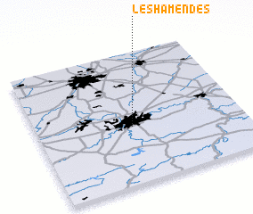 Places with similar names to Les Hamendes, Belgium :: Disclaimer :: Information on this page comes without warranty of any kind |
||
|
Where is Les Hamendes? Elevation and coordinates ::
Latitude (lat): 50°26'0"N Longitude (lon): 4°28'0"E
Elevation (approx.): 148m (map arrows pan, magnifying glasses zoom) |
||
|
Visiting Les Hamendes? Hotel/Accommodation ::
Book a hotel in Les Hamendes Travel Guide ::
Buy a travel guide for Belgium rental cars ::
car rental offers GPS waypoint ::
download a GPX waypoint (PoI) of Les Hamendes for your GPS receiver
|
||