|
search place name
|
||
De Tempel (Noord-Brabant, Netherlands)De Tempel is a town in the Noord-Brabant region of Netherlands. An overview map of the region around De Tempel is displayed below.
regional and 3d topo map of De Tempel, Netherlands ::

De Tempel airports ::
The nearest airport is EIN - Eindhoven, located 8.4 km south west of De Tempel.
Other airports nearby include MST - Maastricht (66.7 km south), GKE - Geilenkirchen (70.0 km south east), UTC - Soesterberg (73.1 km north), MGL - Moenchengladbach Monchengladbach (76.5 km east), Nearby towns ::
Heesterakker (0.0km north) //
ʼt Hool (0.0km north) //
Philipswijk (0.0km north) //
Woenselse Heide (1.2km west) //
Woensel (1.2km west) //
Vlokhoven (1.9km south) //
Bokt (1.2km east) //
Vaartbroek (1.2km east) //
Heuvel (1.9km north) //
Jagershoef (2.2km south west) //
Prinsejacht (2.2km south west) //
Eckart (2.2km south east) //
Oude Gracht (2.2km south east) //
Aanschot (2.2km north west) //
Houtens (2.2km north west) //
Kemenade (2.2km north west) //
Ekkersrijt (2.2km north west) //
Vossenhol (2.2km north east) //
Driehoek (2.2km north east) //
Mensfort (3.9km south) //
Eindhoven (3.9km south) //
Hoeven (3.0km north west) //
Boord (3.0km south east) //
Heerendonk (3.0km north east) //
Hooidonk (3.0km north east) //
Son en Breugel (3.9km north) //
Son (3.9km north) //
Tongelre (4.4km south east) //
De Doornakkers (4.4km south east) //
[all distances 'as the bird flies' and approximate] 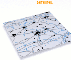 Places with similar names to De Tempel, Netherlands :: Disclaimer :: Information on this page comes without warranty of any kind |
||
|
Where is De Tempel? Elevation and coordinates ::
Latitude (lat): 51°29'0"N Longitude (lon): 5°29'0"E
Elevation (approx.): 18m (map arrows pan, magnifying glasses zoom) |
||
|
Visiting De Tempel? Hotel/Accommodation ::
Book a hotel in De Tempel Travel Guide ::
Buy a travel guide for Netherlands rental cars ::
car rental offers GPS waypoint ::
download a GPX waypoint (PoI) of De Tempel for your GPS receiver
|
||