|
search place name
|
||
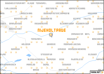
Nijeholtpade (Friesland, Netherlands)Nijeholtpade is a town in the Friesland region of Netherlands. An overview map of the region around Nijeholtpade is displayed below.
regional and 3d topo map of Nijeholtpade, Netherlands ::
Nijeholtpade airports ::
The nearest airport is GRQ - Groningen Eelde, located 40.2 km north east of Nijeholtpade.
Other airports nearby include LWR - Leeuwarden (40.9 km north west), BMK - Borkum (86.3 km north east), DHR - De Kooy (87.6 km west), ENS - Enschede Twenthe (89.7 km south east), Nearby towns ::
De Hoeve (3.7km south) //
Oldeholtpade (2.9km south west) //
Nieuwehorne (4.3km north west) //
Katlijk (4.3km north west) //
Oudehorne (5.7km north) //
Ter Idzard (3.8km south west) //
De Meente (3.8km south east) //
Molenhoek (6.0km north) //
Oldeberkoop (5.0km north east) //
Vinkega (6.0km south) //
Jubbega-Schurega (6.0km north) //
Kortezwaag (7.5km north) //
Jubbegastercompagnie (7.5km north) //
Oudehornstercompagnie (7.5km north) //
Oldeholtwolde (4.8km west) //
Overburen (7.5km south) //
Steggerda (7.5km south) //
Noordwolde (4.8km east) //
Rode Dorp (4.8km east) //
Jonkersland (7.7km north) //
Lombok (5.8km south east) //
Noordwolde-Zuid (5.8km south east) //
Bontebok (7.1km north west) //
Nieuwe Vaart (8.7km north west) //
[all distances 'as the bird flies' and approximate] 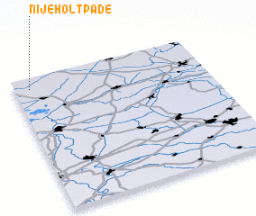 Places with similar names to Nijeholtpade, Netherlands :: Disclaimer :: Information on this page comes without warranty of any kind |
||
|
Where is Nijeholtpade? Elevation and coordinates ::
Latitude (lat): 52°55'0"N Longitude (lon): 6°5'0"E
(map arrows pan, magnifying glasses zoom) |
||
|
Visiting Nijeholtpade? Hotel/Accommodation ::
Book a hotel in Nijeholtpade Travel Guide ::
Buy a travel guide for Netherlands rental cars ::
car rental offers GPS waypoint ::
download a GPX waypoint (PoI) of Nijeholtpade for your GPS receiver
|
||