|
search place name
|
||
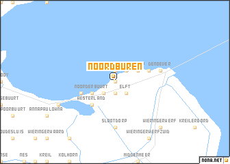
Noordburen (Noord-Holland, Netherlands)Noordburen is a town in the Noord-Holland region of Netherlands. An overview map of the region around Noordburen is displayed below.
regional and 3d topo map of Noordburen, Netherlands ::
Noordburen airports ::
The nearest airport is DHR - De Kooy, located 12.5 km west of Noordburen.
Other airports nearby include LWR - Leeuwarden (63.5 km north east), AMS - Amsterdam Schiphol (69.0 km south), UTC - Soesterberg (90.3 km south), LID - Valkenburg (91.4 km south west), Nearby towns ::
Zandburen (0.0km north) //
Noordstroe (1.9km north) //
Hippolytushoef (1.9km south) //
Oosterklief (1.9km south) //
Smerp (2.2km north east) //
Stroe (2.2km north east) //
Elft (2.2km south east) //
Hollebalg (2.2km south west) //
De Hoelm (2.2km south west) //
Belt (2.2km south west) //
Westerklief (2.2km south west) //
Vatrop (2.9km north east) //
Noorderbuurt (2.9km south west) //
Westerland (4.3km south west) //
De Haukes (4.3km south west) //
Oosterland (3.8km north east) //
De Gest (3.8km north east) //
De Heid (3.8km north east) //
Dam (3.8km south west) //
Slootdorp (7.4km south) //
Den Oever (4.8km north east) //
Wieringerwerf (8.7km south east) //
[all distances 'as the bird flies' and approximate] 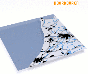 Places with similar names to Noordburen, Netherlands :: Disclaimer :: Information on this page comes without warranty of any kind |
||
|
Where is Noordburen? Elevation and coordinates ::
Latitude (lat): 52°55'0"N Longitude (lon): 4°58'0"E
Elevation (approx.): 1m (map arrows pan, magnifying glasses zoom) |
||
|
Visiting Noordburen? Hotel/Accommodation ::
Book a hotel in Noordburen Travel Guide ::
Buy a travel guide for Netherlands rental cars ::
car rental offers GPS waypoint ::
download a GPX waypoint (PoI) of Noordburen for your GPS receiver
|
||