|
search place name
|
||
Verrenbest (Noord-Brabant, Netherlands)Verrenbest is a town in the Noord-Brabant region of Netherlands. An overview map of the region around Verrenbest is displayed below.
regional and 3d topo map of Verrenbest, Netherlands ::

Verrenbest airports ::
The nearest airport is EIN - Eindhoven, located 7.6 km south of Verrenbest.
Other airports nearby include UTC - Soesterberg (68.5 km north), MST - Maastricht (72.1 km south), WOE - Woensdrecht (73.9 km west), ANR - Antwerp Deurne (74.9 km south west), Nearby towns ::
Steenweg (0.0km north) //
Best (1.9km south) //
Wilhelminadorp (1.9km south) //
Batadorp (1.9km south) //
Vleut (2.2km north east) //
Naastenbest (2.2km south west) //
Aarle (2.3km west) //
Driehoek (2.3km west) //
Vernhout (3.0km north east) //
Kremsel (4.4km north east) //
Boschkant (4.4km north east) //
Acht (4.4km south east) //
Sonniuswijk (3.5km east) //
Straten (3.5km west) //
Mosselaar (3.5km west) //
Achtsehoek (5.6km south) //
De Bus (5.7km north) //
Hezelaar (5.7km north) //
Hoeven (3.9km south east) //
Moleneind (3.9km south west) //
Nieuwacht (5.7km south) //
ʼt Schoor (5.1km north east) //
Liempde (6.0km north west) //
Snepseind (4.6km west) //
Bijsterveld (4.6km west) //
Olland (7.5km north) //
Welschap (7.5km south) //
Kemenade (5.0km east) //
Ekkersrijt (5.0km east) //
[all distances 'as the bird flies' and approximate] 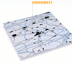 Places with similar names to Verrenbest, Netherlands :: Disclaimer :: Information on this page comes without warranty of any kind |
||
|
Where is Verrenbest? Elevation and coordinates ::
Latitude (lat): 51°31'0"N Longitude (lon): 5°24'0"E
Elevation (approx.): 14m (map arrows pan, magnifying glasses zoom) |
||
|
Visiting Verrenbest? Hotel/Accommodation ::
Book a hotel in Verrenbest Travel Guide ::
Buy a travel guide for Netherlands rental cars ::
car rental offers GPS waypoint ::
download a GPX waypoint (PoI) of Verrenbest for your GPS receiver
|
||