|
search place name
|
||
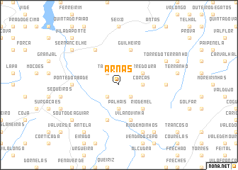
Arnas (Viseu, Portugal)Arnas is a town in the Viseu region of Portugal. An overview map of the region around Arnas is displayed below.
regional and 3d topo map of Arnas, Portugal ::
Arnas airports ::
The nearest airport is VRL - Vila Real, located 52.9 km north west of Arnas.
Other airports nearby include OPO - Porto (113.9 km north west), BGC - Braganca (127.4 km north east), SLM - Salamanca (163.1 km east), VGO - Vigo (182.9 km north west), Nearby towns ::
Reboleiro (2.3km south east) //
Tabosa (2.3km north west) //
Cunha (2.3km south west) //
Corças (2.8km east) //
Palhais (3.7km south) //
Corredoura (3.4km north east) //
Sebadelhe da Serra (3.4km north east) //
Rio de Mel (4.6km south east) //
Guilheiro (5.7km north) //
Vila Novinha (5.7km south) //
Benvende (5.7km south) //
Sarzeda (6.2km north west) //
Castanheira (5.6km east) //
Ponte do Abade (5.6km west) //
Torre do Terranho (6.7km north east) //
Rio de Moinhos (7.9km south) //
Sernancelhe (7.9km north west) //
Sintrão (8.5km south east) //
Barranha (8.5km south west) //
Carregais (8.5km south west) //
Antela (8.5km south west) //
Souto de Aguiar (7.9km south west) //
Vila da Ponte (9.3km north west) //
[all distances 'as the bird flies' and approximate] 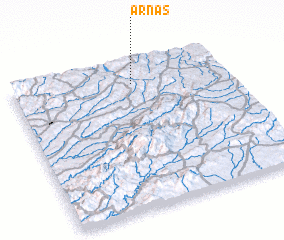 Places with similar names to Arnas, Portugal ::
Disclaimer :: Information on this page comes without warranty of any kind |
||
|
Where is Arnas? Elevation and coordinates ::
Latitude (lat): 40°51'0"N Longitude (lon): 7°26'0"W
Elevation (approx.): 828m (map arrows pan, magnifying glasses zoom) |
||
|
Visiting Arnas? Hotel/Accommodation ::
Book a hotel in Arnas Travel Guide ::
Buy a travel guide for Portugal rental cars ::
car rental offers GPS waypoint ::
download a GPX waypoint (PoI) of Arnas for your GPS receiver
|
||