|
search place name
|
||
Arnozela (Braga, Portugal)Arnozela is a town in the Braga region of Portugal. An overview map of the region around Arnozela is displayed below.
regional and 3d topo map of Arnozela, Portugal ::

Arnozela airports ::
The nearest airport is VRL - Vila Real, located 35.3 km east of Arnozela.
Other airports nearby include OPO - Porto (49.6 km west), VGO - Vigo (103.3 km north west), BGC - Braganca (128.7 km north east), SCQ - Santiago (169.9 km north), Nearby towns ::
Agilde (1.9km south) //
Borba da Montanha (1.4km east) //
Cabanelas (1.4km east) //
Lugar de Além (1.4km east) //
Seidões (1.9km north) //
Alijão (2.3km south west) //
Borba (2.3km north east) //
Porçã (2.3km north east) //
Loureiro (2.8km west) //
Pinheiro (3.3km south west) //
Regadas (3.3km north west) //
Casadela (4.0km north) //
Vilela (4.0km north) //
Barrega (3.3km north east) //
Burgueiros (4.0km north) //
Bolada (4.0km north) //
Macieira da Lixa (4.6km south west) //
Fervença (4.6km south east) //
Rego (4.6km north east) //
Carvalho (4.2km east) //
Rabalde (4.2km east) //
Montim (5.6km north) //
Friande (4.6km south west) //
Pica (5.7km north) //
Quinchães (5.7km north) //
Moreira do Castelo (5.6km south east) //
Março de Simães (5.6km south west) //
Silvares (5.6km north west) //
Lameira (6.2km north east) //
[all distances 'as the bird flies' and approximate] 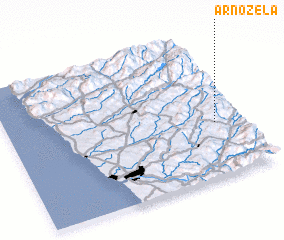
Disclaimer :: Information on this page comes without warranty of any kind |
||
|
Where is Arnozela? Elevation and coordinates ::
Latitude (lat): 41°23'0"N Longitude (lon): 8°7'0"W
Elevation (approx.): 626m (map arrows pan, magnifying glasses zoom) |
||
|
Visiting Arnozela? Hotel/Accommodation ::
Book a hotel in Arnozela Travel Guide ::
Buy a travel guide for Portugal rental cars ::
car rental offers GPS waypoint ::
download a GPX waypoint (PoI) of Arnozela for your GPS receiver
|
||