|
search place name
|
||
Freixofeira (Lisboa, Portugal)Freixofeira is a town in the Lisboa region of Portugal. An overview map of the region around Freixofeira is displayed below.
regional and 3d topo map of Freixofeira, Portugal ::

Freixofeira airports ::
The nearest airport is LIS - Lisbon Lisboa, located 29.1 km south east of Freixofeira.
Nearby towns ::
Caneira Velha (1.4km east) //
Antas (1.4km east) //
Colaria (1.9km north) //
Asseiceira (1.4km west) //
Abobreira (1.4km west) //
Bandalhoeira (1.9km south) //
Azueira (1.9km south) //
Sibilheiro (1.9km south) //
Livramento (1.9km south) //
Turcifal (2.3km north east) //
Paul (2.3km north west) //
Fernandinho (2.3km north west) //
Almeirinhos de Cima (2.9km east) //
Freiria (2.9km west) //
Gradil (3.7km south) //
Carvalhal (4.0km north) //
Engenheiro (4.0km north) //
Quinta da Viscondessa (4.0km north) //
Melroeira (3.4km north east) //
Tourinhas (3.4km south east) //
Almeirinhos do Clemente (3.4km south east) //
Concelhos (3.4km north west) //
Poços (3.4km north west) //
Chãos (3.4km north west) //
Barras (4.0km south) //
Chança (4.0km south) //
Monte Gordo de Além (4.0km south) //
Murteira (4.7km north west) //
Cadouço (4.7km north west) //
[all distances 'as the bird flies' and approximate] 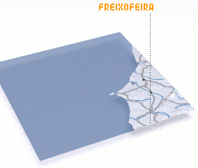 Places with similar names to Freixofeira, Portugal :: Disclaimer :: Information on this page comes without warranty of any kind |
||
|
Where is Freixofeira? Elevation and coordinates ::
Latitude (lat): 39°1'0"N Longitude (lon): 9°17'0"W
Elevation (approx.): 56m (map arrows pan, magnifying glasses zoom) |
||
|
Visiting Freixofeira? Hotel/Accommodation ::
Book a hotel in Freixofeira Travel Guide ::
Buy a travel guide for Portugal rental cars ::
car rental offers GPS waypoint ::
download a GPX waypoint (PoI) of Freixofeira for your GPS receiver
|
||