|
search place name
|
||
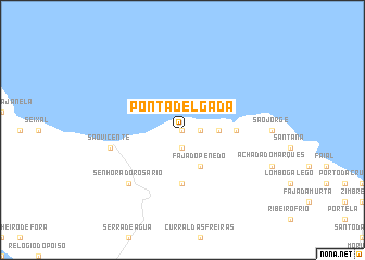
Ponta Delgada (Madeira, Portugal)Ponta Delgada is a town in the Madeira region of Portugal. An overview map of the region around Ponta Delgada is displayed below.
regional and 3d topo map of Ponta Delgada, Portugal ::
Ponta Delgada airports ::
The nearest airport is PXO - Porto Santo, located 65.7 km north east of Ponta Delgada.
Nearby towns ::
Malhada (0.0km north) //
Feiteiras (0.0km north) //
Boaventura (1.6km east) //
Cabo da Ribeira (1.9km south) //
Arco de São Jorge (3.1km east) //
Fajã do Penedo (4.0km south east) //
Lapinhas (5.6km south) //
Ribeira Funda (4.7km east) //
São Vicente (6.5km west) //
Senhora do Rosário (7.3km south west) //
[all distances 'as the bird flies' and approximate] 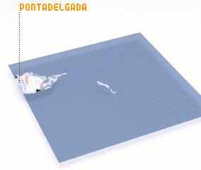 Places with similar names to Ponta Delgada, Portugal ::
// Ponta Delgada (PT)
// Punta Delgada (AR)
Disclaimer :: Information on this page comes without warranty of any kind |
||
|
Where is Ponta Delgada? Elevation and coordinates ::
Latitude (lat): 32°49'0"N Longitude (lon): 16°59'0"W
Elevation (approx.): 408m (map arrows pan, magnifying glasses zoom) |
||
|
Visiting Ponta Delgada? Hotel/Accommodation ::
Book a hotel in Ponta Delgada Travel Guide ::
Buy a travel guide for Portugal rental cars ::
car rental offers GPS waypoint ::
download a GPX waypoint (PoI) of Ponta Delgada for your GPS receiver
|
||