|
search place name
|
||
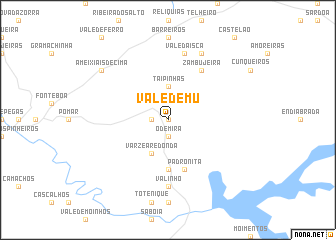
Vale de Mu (Beja, Portugal)Vale de Mu is a town in the Beja region of Portugal. An overview map of the region around Vale de Mu is displayed below.
regional and 3d topo map of Vale de Mu, Portugal ::
Vale de Mu airports ::
The nearest airport is FAO - Faro, located 79.5 km south east of Vale de Mu.
Other airports nearby include LIS - Lisbon Lisboa (143.0 km north west), BJZ - Badajoz Talavera La Real (204.2 km north east), Nearby towns ::
Sobradinho de Baixo (0.0km north) //
Cerro das Pedras (1.5km west) //
Odemira (1.9km south) //
Luzianes (1.9km south) //
Taipinhas (3.7km north) //
Várzea Redonda (4.0km south) //
Nora (5.6km south) //
Padrona de Cima (5.8km south) //
Padronita (5.8km south) //
Zambujeira (6.3km north east) //
Valinho (7.4km south) //
Vale da Isca (7.6km north) //
Chaiça Madriz (8.0km north) //
Ameixiais de Cima (8.1km north west) //
[all distances 'as the bird flies' and approximate] 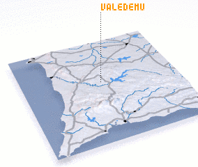 Places with similar names to Vale de Mu, Portugal ::
// Valdoma (RU)
// Valdoma (RU)
// Velet'ma (RU)
// Vil'dim (RU)
// Vale da Mó (PT)
// Vale da Mó (PT)
// Vale da Mua (PT)
// Vale da Mua (PT)
// Vale da Mua (PT)
// Flattum (NO)
Disclaimer :: Information on this page comes without warranty of any kind |
||
|
Where is Vale de Mu? Elevation and coordinates ::
Latitude (lat): 37°36'0"N Longitude (lon): 8°29'0"W
Elevation (approx.): 136m (map arrows pan, magnifying glasses zoom) |
||
|
Visiting Vale de Mu? Hotel/Accommodation ::
Book a hotel in Vale de Mu Travel Guide ::
Buy a travel guide for Portugal rental cars ::
car rental offers GPS waypoint ::
download a GPX waypoint (PoI) of Vale de Mu for your GPS receiver
|
||