|
search place name
|
||
Ventosa (Lisboa, Portugal)Ventosa is a town in the Lisboa region of Portugal. An overview map of the region around Ventosa is displayed below.
regional and 3d topo map of Ventosa, Portugal ::

Ventosa airports ::
The nearest airport is LIS - Lisbon Lisboa, located 48.6 km south of Ventosa.
Nearby towns ::
Pragança (0.0km north) //
Matas (1.9km north) //
Capelas (1.9km north) //
Mariquiteira (1.4km west) //
Carrasqueira (1.4km east) //
Toledo (1.9km south) //
Casa Nova (2.3km north west) //
Araújo (2.3km north east) //
Marteleira (2.3km north east) //
Vimeiro (2.3km south west) //
Lourim (3.7km north) //
Casal do Cigano (2.9km west) //
Ribamar (2.9km west) //
Cruz da Carrasqueira (2.9km east) //
Cabeça Gorda (2.9km east) //
Atalaia de Baixo (4.0km north) //
Nadrupe (4.0km north) //
Lourinhã (4.0km north) //
Vale de Lobos (3.4km north east) //
Maceira (3.4km south west) //
Atalaia de Cima (4.7km north west) //
Porto das Barcas (4.7km north west) //
Miragaia (4.7km north east) //
Casal da Boa Vista (4.7km south west) //
Casais do Rijo (4.3km east) //
Ribeira (4.3km east) //
A dos Cunhados (5.6km south) //
Seixal (5.7km north) //
Vale de Vigas (5.7km north) //
[all distances 'as the bird flies' and approximate] 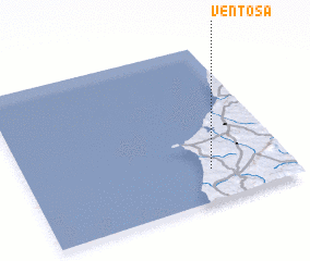 Places with similar names to Ventosa, Portugal ::
Disclaimer :: Information on this page comes without warranty of any kind |
||
|
Where is Ventosa? Elevation and coordinates ::
Latitude (lat): 39°12'0"N Longitude (lon): 9°18'0"W
Elevation (approx.): 110m (map arrows pan, magnifying glasses zoom) |
||
|
Visiting Ventosa? Hotel/Accommodation ::
Book a hotel in Ventosa Travel Guide ::
Buy a travel guide for Portugal rental cars ::
car rental offers GPS waypoint ::
download a GPX waypoint (PoI) of Ventosa for your GPS receiver
|
||