|
search place name
|
||
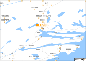
Blesvik (Aust-Agder, Norway)Blesvik is a town in the Aust-Agder region of Norway. An overview map of the region around Blesvik is displayed below.
regional and 3d topo map of Blesvik, Norway ::
Blesvik airports ::
The nearest airport is SKE - Skien Geiteryggen, located 55.9 km north east of Blesvik.
Other airports nearby include TRF - Torp (83.3 km north east), KRS - Kristiansand Kjevik (84.2 km south west), TED - Thisted (188.6 km south), AAL - Aalborg (190.1 km south), Nearby towns ::
Vormeli (1.0km west) //
Søndeled (1.9km north) //
Rød (2.1km south west) //
Homme (3.7km north) //
Sauvika (3.8km south) //
Akland (2.7km south west) //
Bråten (2.7km south west) //
Haugen (5.6km north) //
Eikeland (5.6km north) //
Øya (3.4km south east) //
Brokland (7.4km north) //
Kvitberg (8.0km south) //
Hope (8.4km south east) //
[all distances 'as the bird flies' and approximate] 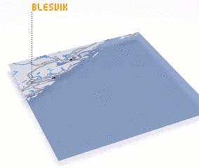 Places with similar names to Blesvik, Norway ::
// Ballesvika (NO)
// Belsvik (NO)
// Blaževac (BA)
// Belousovka (UA)
// Belousovka (UA)
// Belousovka (UA)
// Belousovka (UA)
// Belousovka (UA)
// Belousovka (UA)
// Bilousivka (UA)
Disclaimer :: Information on this page comes without warranty of any kind |
||
|
Where is Blesvik? Elevation and coordinates ::
Latitude (lat): 58°45'0"N Longitude (lon): 9°5'0"E
Elevation (approx.): 33m (map arrows pan, magnifying glasses zoom) |
||
|
Visiting Blesvik? Hotel/Accommodation ::
Book a hotel in Blesvik Travel Guide ::
Buy a travel guide for Norway rental cars ::
car rental offers GPS waypoint ::
download a GPX waypoint (PoI) of Blesvik for your GPS receiver
|
||