|
search place name
|
||
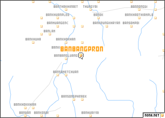
Ban Bang Pron (Nakhon Si Thammarat, Thailand)Ban Bang Pron is a town in the Nakhon Si Thammarat region of Thailand. An overview map of the region around Ban Bang Pron is displayed below.
regional and 3d topo map of Ban Bang Pron, Thailand ::
Ban Bang Pron airports ::
The nearest airport is NST - Nakhon Si Thammarat Cha Ian, located 73.1 km north east of Ban Bang Pron.
Other airports nearby include TST - Trang (81.9 km south), HKT - Phuket Intl (114.3 km west), HDY - Songkhla Hat Yai Intl (181.3 km south east), LGK - Pulau Langkawi Intl (211.0 km south), Nearby towns ::
Ban Bang Luang (3.7km west) //
Ban Khao Thalu (3.7km north) //
Ban Khongkha Liap (4.1km north west) //
Ban Samet Chuan (5.2km south west) //
Ban Huai Thong Lang (5.2km south west) //
Ban Khok Han (5.2km north west) //
Ban Bang Hin (6.6km south west) //
Ban Bang Taphao (1) (7.4km north) //
Ban Bang Ra Pho (7.6km north) //
Ban Muang En (2) (9.2km north west) //
Ban Lam (9.2km north west) //
Ban Krung Khayan (9.2km north east) //
[all distances 'as the bird flies' and approximate] 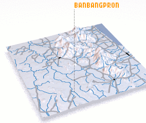 Places with similar names to Ban Bang Pron, Thailand ::
// Ban Bang Pru Nua (TH)
Disclaimer :: Information on this page comes without warranty of any kind |
||
|
Where is Ban Bang Pron? Elevation and coordinates ::
Latitude (lat): 8°12'0"N Longitude (lon): 99°21'0"E
Elevation (approx.): 50m (map arrows pan, magnifying glasses zoom) |
||
|
Visiting Ban Bang Pron? Hotel/Accommodation ::
Book a hotel in Ban Bang Pron Travel Guide ::
Buy a travel guide for Thailand rental cars ::
car rental offers GPS waypoint ::
download a GPX waypoint (PoI) of Ban Bang Pron for your GPS receiver
|
||