|
search place name
|
||
Ban Bang Tok (Surat Thani, Thailand)Ban Bang Tok is a town in the Surat Thani region of Thailand. An overview map of the region around Ban Bang Tok is displayed below.
regional and 3d topo map of Ban Bang Tok, Thailand ::

Ban Bang Tok airports ::
The nearest airport is NST - Nakhon Si Thammarat Cha Ian, located 90.7 km south east of Ban Bang Tok.
Other airports nearby include HKT - Phuket Intl (130.9 km south west), TST - Trang (156.0 km south), HDY - Songkhla Hat Yai Intl (249.1 km south east), Nearby towns ::
Khian Sa (1.9km south) //
Ban Khao Tok (1.9km south) //
Ban Huai Kui (2.6km north west) //
Ban Chan Khot (2.6km north west) //
Ban Ko Kaeo (3.7km west) //
Ban Khuan Phra (3.7km north) //
Ban Khuan Tha Khrae (5.6km north) //
Ban Na Tai (5.8km east) //
Ban Bang Pra (6.7km south west) //
Ban Don Yung (6.6km north east) //
Ban Mae Khaek (6.7km north west) //
Ban Nam Kliang (7.6km east) //
Ban Don Phayom (7.8km south west) //
Ban Bang Bao (9.2km north west) //
Ban Thung Kha (9.2km south west) //
Ban Ya (9.2km north east) //
[all distances 'as the bird flies' and approximate] 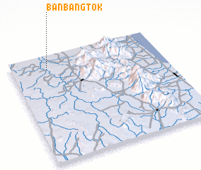 Places with similar names to Ban Bang Tok, Thailand ::
Disclaimer :: Information on this page comes without warranty of any kind |
||
|
Where is Ban Bang Tok? Elevation and coordinates ::
Latitude (lat): 8°52'0"N Longitude (lon): 99°14'0"E
Elevation (approx.): 47m (map arrows pan, magnifying glasses zoom) |
||
|
Visiting Ban Bang Tok? Hotel/Accommodation ::
Book a hotel in Ban Bang Tok Travel Guide ::
Buy a travel guide for Thailand rental cars ::
car rental offers GPS waypoint ::
download a GPX waypoint (PoI) of Ban Bang Tok for your GPS receiver
|
||