|
search place name
|
||
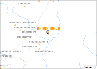
Ban Ban Na La (Yala, Thailand)Ban Ban Na La is a town in the Yala region of Thailand. An overview map of the region around Ban Ban Na La is displayed below.
regional and 3d topo map of Ban Ban Na La, Thailand ::
Ban Ban Na La airports ::
The nearest airport is AOR - Alor Setar Sultan Abdul Halim, located 93.7 km north west of Ban Ban Na La.
Other airports nearby include NAW - Narathiwat (103.2 km north east), PAN - Pattani (109.0 km north), PEN - Penang Intl (111.6 km south west), KBR - Kota Bahru Sultan Ismail Petra (132.9 km east), Nearby towns ::
Ban Komo Chet (1.8km east) //
Ban Saphan Chang Tai (5.2km south west) //
Ban Komo Chet (5.8km west) //
Ban Ra Mong (6.7km south west) //
Ban Cha Ro Pa Tai (7.4km west) //
Ban Ai Yoe Boe Chang (7.6km south) //
Ban Bo Nam Ron (8.3km north west) //
Betong (9.2km south west) //
Kampong Betong (9.2km south west) //
[all distances 'as the bird flies' and approximate] 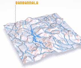 Places with similar names to Ban Ban Na La, Thailand ::
// Banbanaal (PH)
// Ban Ban Leu (LA)
Disclaimer :: Information on this page comes without warranty of any kind |
||
|
Where is Ban Ban Na La? Elevation and coordinates ::
Latitude (lat): 5°48'0"N Longitude (lon): 101°9'0"E
Elevation (approx.): 245m (map arrows pan, magnifying glasses zoom) |
||
|
Visiting Ban Ban Na La? Hotel/Accommodation ::
Book a hotel in Ban Ban Na La Travel Guide ::
Buy a travel guide for Thailand rental cars ::
car rental offers GPS waypoint ::
download a GPX waypoint (PoI) of Ban Ban Na La for your GPS receiver
|
||