|
search place name
|
||
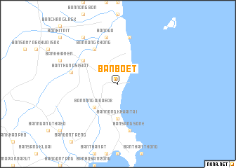
Ban Boet (Prachuap Khiri Khan, Thailand)Ban Boet is a town in the Prachuap Khiri Khan region of Thailand. An overview map of the region around Ban Boet is displayed below.
regional and 3d topo map of Ban Boet, Thailand ::
Ban Boet airports ::
The nearest airport is MGZ - Myeik, located 186.5 km north west of Ban Boet.
Other airports nearby include HHQ - Prachuap Khiri Khan Hua Hin (189.8 km north), UTP - Rayong U Taphao Intl (250.4 km north east), Nearby towns ::
Ban Nong Ai Kaeo (1) (5.2km south west) //
Ban Nong Khwai Tai (5.6km south) //
Ban Pak Khlong Bang Saphan Noi (6.6km north west) //
Ban Nong Khong (6.6km north west) //
Ban Huai Sak Bon (6.6km north west) //
Ban Sang Som (4) (7.6km south) //
Ban Thung Si Siat (7.5km west) //
Ban Nua (7.6km north) //
Ban Kammasen (7.6km north) //
Ban Nong Wai Khwat (9.2km north west) //
[all distances 'as the bird flies' and approximate] 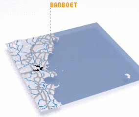 Places with similar names to Ban Boet, Thailand ::
// Baunu” Bata” (PH)
// Ban Ai Bu Tae (TH)
// Ban Ba Do (TH)
// Ban Boet (TH)
// Ban Bo It (TH)
// Ban Bot (TH)
// Ban Bot (TH)
// Ban Bot (TH)
// Ban Bo To (TH)
// Ban Bua Toei (TH)
Disclaimer :: Information on this page comes without warranty of any kind |
||
|
Where is Ban Boet? Elevation and coordinates ::
Latitude (lat): 10°59'0"N Longitude (lon): 99°29'0"E
Elevation (approx.): 28m (map arrows pan, magnifying glasses zoom) |
||
|
Visiting Ban Boet? Hotel/Accommodation ::
Book a hotel in Ban Boet Travel Guide ::
Buy a travel guide for Thailand rental cars ::
car rental offers GPS waypoint ::
download a GPX waypoint (PoI) of Ban Boet for your GPS receiver
|
||