|
search place name
|
||
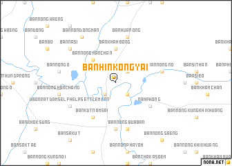
Ban Hin Kong Yai (Khon Kaen, Thailand)Ban Hin Kong Yai is a town in the Khon Kaen region of Thailand. An overview map of the region around Ban Hin Kong Yai is displayed below.
regional and 3d topo map of Ban Hin Kong Yai, Thailand ::
Ban Hin Kong Yai airports ::
The nearest airport is UTH - Udon Thani, located 72.3 km north of Ban Hin Kong Yai.
Other airports nearby include LOE - Loei (140.3 km north west), VTE - Vientiane Wattay Intl (141.5 km north), SNO - Sakon Nakhon (147.8 km east), ZVK - Savannakhet (208.2 km east), Nearby towns ::
Ban Kham Mut (2.6km south east) //
Ban Si Than (2.6km south east) //
Ban Nam Phong (2.6km south west) //
Ban Huai Phai (2.6km north east) //
Ban Nong Han Chan (5.1km north west) //
Ban Kham Bong (5.6km north) //
Nam Phong (6.5km south east) //
Ban Kut Nam Sai (6.6km south west) //
Ban Kham Kaen Khun (7.4km south) //
Ban Kham Bon (7.4km south) //
Ban Nong Bua Ban (7.6km south) //
Ban Na Riang (7.3km east) //
Ban Nong No (7.3km east) //
Ban Hua Nong (7.6km north) //
Ubonrat Dam Self Help Settlement (8.0km south west) //
Ban Na Si (9.0km north west) //
Ban Non Dong Man (9.1km north west) //
[all distances 'as the bird flies' and approximate] 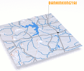 Places with similar names to Ban Hin Kong Yai, Thailand :: Disclaimer :: Information on this page comes without warranty of any kind |
||
|
Where is Ban Hin Kong Yai? Elevation and coordinates ::
Latitude (lat): 16°44'0"N Longitude (lon): 102°49'0"E
Elevation (approx.): 163m (map arrows pan, magnifying glasses zoom) |
||
|
Visiting Ban Hin Kong Yai? Hotel/Accommodation ::
Book a hotel in Ban Hin Kong Yai Travel Guide ::
Buy a travel guide for Thailand rental cars ::
car rental offers GPS waypoint ::
download a GPX waypoint (PoI) of Ban Hin Kong Yai for your GPS receiver
|
||