|
search place name
|
||
Ban Huai Phak Kha (Nong Khai, Thailand)Ban Huai Phak Kha is a town in the Nong Khai region of Thailand. An overview map of the region around Ban Huai Phak Kha is displayed below.
regional and 3d topo map of Ban Huai Phak Kha, Thailand ::

Ban Huai Phak Kha airports ::
The nearest airport is SNO - Sakon Nakhon, located 89.4 km south of Ban Huai Phak Kha.
Other airports nearby include UTH - Udon Thani (138.3 km south west), VTE - Vientiane Wattay Intl (145.1 km west), ZVK - Savannakhet (180.7 km south east), LPQ - Luang Prabang Luang Phabang Intl (282.4 km north west), Nearby towns ::
Ban Khok Kasae (1.8km east) //
Ban Tong (1.8km east) //
Ban Sok Kam (1.8km east) //
Ban Na Kham (1.8km east) //
Ban Na Takai (1.8km east) //
Ban Non Muat Ae (5.0km north west) //
Ban Non Nam Thaeng (5.6km west) //
Seka (5.8km south) //
Ban Tha Muang (7.0km north west) //
Ban Khok Kasae (7.7km north east) //
Ban Nong Chik (7.7km south west) //
Ban Lao Kham (7.7km north west) //
Ban Nam Chan (8.2km north west) //
Ban Nong Khla (8.7km north west) //
Ban Tong (8.8km north) //
Ban Kham Bon (9.5km north) //
[all distances 'as the bird flies' and approximate] 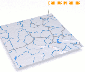 Places with similar names to Ban Huai Phak Kha, Thailand :: Disclaimer :: Information on this page comes without warranty of any kind |
||
|
Where is Ban Huai Phak Kha? Elevation and coordinates ::
Latitude (lat): 17°59'0"N Longitude (lon): 103°56'0"E
Elevation (approx.): 166m (map arrows pan, magnifying glasses zoom) |
||
|
Visiting Ban Huai Phak Kha? Hotel/Accommodation ::
Book a hotel in Ban Huai Phak Kha Travel Guide ::
Buy a travel guide for Thailand rental cars ::
car rental offers GPS waypoint ::
download a GPX waypoint (PoI) of Ban Huai Phak Kha for your GPS receiver
|
||