|
search place name
|
||
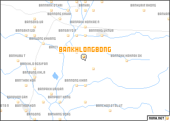
Ban Khlong Bong (Phetchabun, Thailand)Ban Khlong Bong is a town in the Phetchabun region of Thailand. An overview map of the region around Ban Khlong Bong is displayed below.
regional and 3d topo map of Ban Khlong Bong, Thailand ::
Ban Khlong Bong airports ::
The nearest airport is LOE - Loei, located 98.3 km north east of Ban Khlong Bong.
Other airports nearby include PHS - Phitsanulok (106.1 km west), UTH - Udon Thani (180.5 km north east), PRH - Phrae (200.0 km north west), VTE - Vientiane Wattay Intl (201.0 km north east), Nearby towns ::
Ban Huai Saen Nga (2.6km south east) //
Ban Nam Kham Nong O (2.6km north west) //
Ban Nam Duk Klang (5.6km north) //
Ban Nam Len (5.6km south) //
Ban Tha Kham (5.6km west) //
Ban Nam Kham Klang (5.8km south) //
Ban Nam Duk (5.8km north) //
Ban Nong Khan (5.8km south) //
Ban Nam Duk Klang (5.8km south) //
Ban Nam Duk Nua (6.6km north east) //
Ban Sai Yon (6.6km north west) //
Ban Pak Khon Kaen (7.4km north) //
Ban Pak Huai Dan (10.3km south west) //
[all distances 'as the bird flies' and approximate] 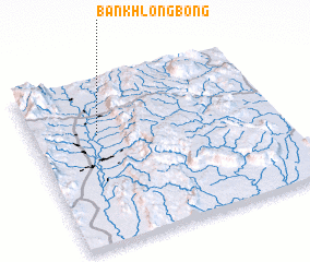 Places with similar names to Ban Khlong Bong, Thailand ::
// Ban Khlong Baeng (TH)
// Ban Khlong Bong (TH)
Disclaimer :: Information on this page comes without warranty of any kind |
||
|
Where is Ban Khlong Bong? Elevation and coordinates ::
Latitude (lat): 16°40'0"N Longitude (lon): 101°16'0"E
Elevation (approx.): 145m (map arrows pan, magnifying glasses zoom) |
||
|
Visiting Ban Khlong Bong? Hotel/Accommodation ::
Book a hotel in Ban Khlong Bong Travel Guide ::
Buy a travel guide for Thailand rental cars ::
car rental offers GPS waypoint ::
download a GPX waypoint (PoI) of Ban Khlong Bong for your GPS receiver
|
||