|
search place name
|
||
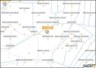
Ban Ko (Thailand)Ban Ko is a town in Thailand. An overview map of the region around Ban Ko is displayed below.
regional and 3d topo map of Ban Ko, Thailand ::
Ban Ko airports ::
The nearest airport is BKK - Bangkok Intl, located 21.8 km north west of Ban Ko.
Other airports nearby include UTP - Rayong U Taphao Intl (128.0 km south), HHQ - Prachuap Khiri Khan Hua Hin (158.7 km south west), NAK - Nakhon Ratchasima Khorat (186.6 km north east), Nearby towns ::
Ban Bung Yai (1.9km south) //
Ban Min Buri (3.6km west) //
Ban Khlong Nung Tawan Ok (3.7km north) //
Ban Hua Khu (5.2km north east) //
Min Buri (5.4km west) //
Ban Chorakhe Tai (5.4km east) //
Ban Lam Phak Chi (5.7km east) //
Ban Chiaradap (2) (6.5km north east) //
Ban Khlong Lam Hin (6.6km north east) //
Ban Khlong Pha Ong (6.6km south east) //
Ban Bung Kip Mu (7.4km west) //
Ban Khlong Si (7.6km south) //
Ban Lam Pha-ong (7.8km south east) //
Ban Khlong Sam (8.2km north west) //
Ban Lam Chala (8.1km south east) //
Ban Khlong Lat Bua Khao (10.3km south west) //
[all distances 'as the bird flies' and approximate] 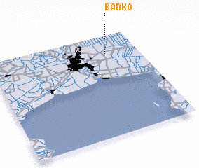 Places with similar names to Ban Ko, Thailand ::
Disclaimer :: Information on this page comes without warranty of any kind |
||
|
Where is Ban Ko? Elevation and coordinates ::
Latitude (lat): 13°49'0"N Longitude (lon): 100°47'0"E
Elevation (approx.): 3m (map arrows pan, magnifying glasses zoom) |
||
|
Visiting Ban Ko? Hotel/Accommodation ::
Book a hotel in Ban Ko Travel Guide ::
Buy a travel guide for Thailand rental cars ::
car rental offers GPS waypoint ::
download a GPX waypoint (PoI) of Ban Ko for your GPS receiver
|
||