|
search place name
|
||
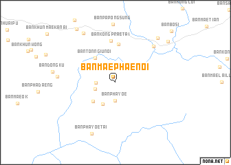
Ban Mae Phae Noi (Mae Hong Son, Thailand)Ban Mae Phae Noi is a town in the Mae Hong Son region of Thailand. An overview map of the region around Ban Mae Phae Noi is displayed below.
regional and 3d topo map of Ban Mae Phae Noi, Thailand ::
Ban Mae Phae Noi airports ::
The nearest airport is LPT - Lampang, located 145.4 km east of Ban Mae Phae Noi.
Nearby towns ::
Ban Pha Yoe (3.0km south) //
Ban Huai Mu Klang (3.0km west) //
Ban Huai Mu Tai (3.3km west) //
Ban Mae Sarong Nua (4.0km south west) //
Ban Mae Sarong Tai (4.6km south west) //
Ban Ton Ngiu Noi (5.1km north west) //
Ban Thung Luang (6.2km north) //
Ban Kong Prae Tai (6.7km north) //
Ban Kong Koi (8.3km north east) //
Ban Pha Yoe Tai (9.1km south west) //
Ban Mae Lai Doi Liam (9.3km north west) //
Ban Mae Waen (9.8km north east) //
Ban Mae Ho (10.5km north west) //
Ban Bo Sali (10.5km north east) //
[all distances 'as the bird flies' and approximate] 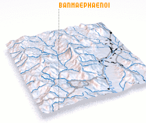 Places with similar names to Ban Mae Phae Noi, Thailand ::
// Ban Nam Phan (TH)
// Ban Nam Phon (TH)
// Ban Nam Phon (TH)
// Ban Nam Phu Noi (TH)
// Ban Na Me Ven (LA)
// Ban Namphôn (LA)
// Ban Namphoun (LA)
// Ban Namvun (LA)
// Ban Namvun-Nua (LA)
// Buôn M'ghan (VN)
Disclaimer :: Information on this page comes without warranty of any kind |
||
|
Where is Ban Mae Phae Noi? Elevation and coordinates ::
Latitude (lat): 18°2'29"N Longitude (lon): 98°9'4"E
Elevation (approx.): 879m (map arrows pan, magnifying glasses zoom) |
||
|
Visiting Ban Mae Phae Noi? Hotel/Accommodation ::
Book a hotel in Ban Mae Phae Noi Travel Guide ::
Buy a travel guide for Thailand rental cars ::
car rental offers GPS waypoint ::
download a GPX waypoint (PoI) of Ban Mae Phae Noi for your GPS receiver
|
||