|
search place name
|
||
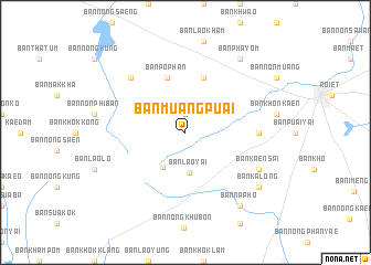
Ban Muang Puai (Roi Et, Thailand)Ban Muang Puai is a town in the Roi Et region of Thailand. An overview map of the region around Ban Muang Puai is displayed below.
regional and 3d topo map of Ban Muang Puai, Thailand ::
Ban Muang Puai airports ::
The nearest airport is ZVK - Savannakhet, located 144.0 km north east of Ban Muang Puai.
Other airports nearby include SNO - Sakon Nakhon (144.6 km north east), UTH - Udon Thani (171.2 km north west), NAK - Nakhon Ratchasima Khorat (196.7 km south west), VTE - Vientiane Wattay Intl (241.4 km north west), Nearby towns ::
Ban Lao Klang (1.9km north) //
Ban Lao Yai (4.1km south) //
Ban Bak (4.1km south west) //
Ban Po Phan (5.8km north) //
Ban Khok Sung (5.8km north) //
Ban Bua (7.1km east) //
Ban Phon La-om (7.7km north west) //
Ban Kaen Sai (8.0km south east) //
Ban Phayom (9.1km north east) //
Ban Ka Long (9.0km south east) //
Ban Na Pho (9.1km south east) //
[all distances 'as the bird flies' and approximate] 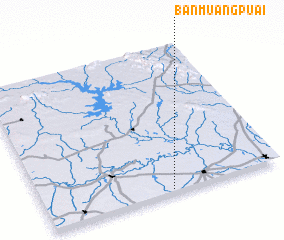 Places with similar names to Ban Muang Puai, Thailand ::
// Ban Muang Po (TH)
// Ban Muangpoua (LA)
Disclaimer :: Information on this page comes without warranty of any kind |
||
|
Where is Ban Muang Puai? Elevation and coordinates ::
Latitude (lat): 16°1'0"N Longitude (lon): 103°32'0"E
Elevation (approx.): 170m (map arrows pan, magnifying glasses zoom) |
||
|
Visiting Ban Muang Puai? Hotel/Accommodation ::
Book a hotel in Ban Muang Puai Travel Guide ::
Buy a travel guide for Thailand rental cars ::
car rental offers GPS waypoint ::
download a GPX waypoint (PoI) of Ban Muang Puai for your GPS receiver
|
||