|
search place name
|
||
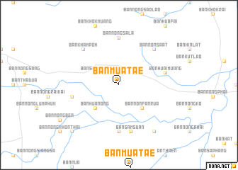
Ban Muat Ae (Khon Kaen, Thailand)Ban Muat Ae is a town in the Khon Kaen region of Thailand. An overview map of the region around Ban Muat Ae is displayed below.
regional and 3d topo map of Ban Muat Ae, Thailand ::
Ban Muat Ae airports ::
The nearest airport is UTH - Udon Thani, located 112.7 km north east of Ban Muat Ae.
Other airports nearby include LOE - Loei (119.0 km north west), VTE - Vientiane Wattay Intl (167.7 km north), NAK - Nakhon Ratchasima Khorat (174.4 km south), SNO - Sakon Nakhon (211.8 km east), Nearby towns ::
Ban Samphan (4.0km north west) //
Ban Non Fan Rua (5.1km south east) //
Ban Hua Nong (5.1km south west) //
Ban Non Chot (7.4km south) //
Ban Nong Sala (7.4km north) //
Ban Huai Muang (7.3km east) //
Ban Sam Suan (7.6km south) //
Ban Kut Hua Chang (7.3km west) //
Ban Non Sa-at (7.7km north east) //
Ban Kham Pom (7.7km north west) //
Ban Hin Lat (9.1km south east) //
Ban Kut Yom (10.3km south west) //
[all distances 'as the bird flies' and approximate] 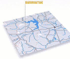 Places with similar names to Ban Muat Ae, Thailand ::
// Ban Ma (3) (TH)
// Ban Madua (TH)
// Ban Maet (TH)
// Ban Maet (TH)
// Ban Maet (TH)
// Ban Maet (TH)
// Ban Maet (TH)
// Ban Maet (TH)
// Ban Mae Tae (TH)
// Ban Mae Tao (TH)
Disclaimer :: Information on this page comes without warranty of any kind |
||
|
Where is Ban Muat Ae? Elevation and coordinates ::
Latitude (lat): 16°30'0"N Longitude (lon): 102°16'0"E
Elevation (approx.): 210m (map arrows pan, magnifying glasses zoom) |
||
|
Visiting Ban Muat Ae? Hotel/Accommodation ::
Book a hotel in Ban Muat Ae Travel Guide ::
Buy a travel guide for Thailand rental cars ::
car rental offers GPS waypoint ::
download a GPX waypoint (PoI) of Ban Muat Ae for your GPS receiver
|
||