|
search place name
|
||
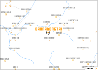
Ban Na Dong Tai (Lampang, Thailand)Ban Na Dong Tai is a town in the Lampang region of Thailand. An overview map of the region around Ban Na Dong Tai is displayed below.
regional and 3d topo map of Ban Na Dong Tai, Thailand ::
Ban Na Dong Tai airports ::
The nearest airport is LPT - Lampang, located 23.2 km north west of Ban Na Dong Tai.
Other airports nearby include PRH - Phrae (56.5 km east), PHS - Phitsanulok (161.2 km south east), Nearby towns ::
Ban Mae Tap (1.9km south) //
Ban Thung Ton (2.4km north west) //
Ban Na Du (2.4km north west) //
Ban Iak (3.7km east) //
Ban Mai (4.3km north) //
Ban Na Bong (4.1km north east) //
Ban Don Fai (4.5km east) //
Ban Thung (6.6km north east) //
Ban Hua Sua (7.3km north) //
Ban Sam Kha (7.4km east) //
Ban Sop Po (7.8km north west) //
[all distances 'as the bird flies' and approximate] 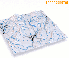 Places with similar names to Ban Na Dong Tai, Thailand ::
// Ban Dan Kata (TH)
// Ban Dong Duai (TH)
// Ban Dong Tai (TH)
// Ban Dong Tiu (TH)
// Ban Dong Tiu (TH)
// Ban Don Kai Di (TH)
// Ban Don Ket (TH)
// Ban Tan Kut (TH)
// Ban Tan Kut (TH)
// Benton Cut (US)
Disclaimer :: Information on this page comes without warranty of any kind |
||
|
Where is Ban Na Dong Tai? Elevation and coordinates ::
Latitude (lat): 18°6'2"N Longitude (lon): 99°37'54"E
Elevation (approx.): 301m (map arrows pan, magnifying glasses zoom) |
||
|
Visiting Ban Na Dong Tai? Hotel/Accommodation ::
Book a hotel in Ban Na Dong Tai Travel Guide ::
Buy a travel guide for Thailand rental cars ::
car rental offers GPS waypoint ::
download a GPX waypoint (PoI) of Ban Na Dong Tai for your GPS receiver
|
||